OGUL #40 - Sierra Buttes
July 8th, 2023
After a week out on the road camping and bagging peaks, it was still a weekend, and I talked my wife into bagging another Ogul peak with me. This was a good opportunity to take a nice drive together, as well as a nice hike. We left home around 7, and stopped for bagels in Auburn before getting on highway 49 towards Nevada City. I had never taken 49 beyond Grass Valley, and it was a nice drive. We passed through Downieville and decided we’d stop there on the way back to check it out.
We stopped briefly in Sierra City to use the restroom, and talked with a French Woman who was doing the PCT (the trekking poles and sun hoodie were a dead giveaway). We then did the last leg of the drive up to the Sierra Buttes Trailhead. Upon arriving, I was amazed at how many mountain bikers were up there, being unaware of the Downieville classic at the time.
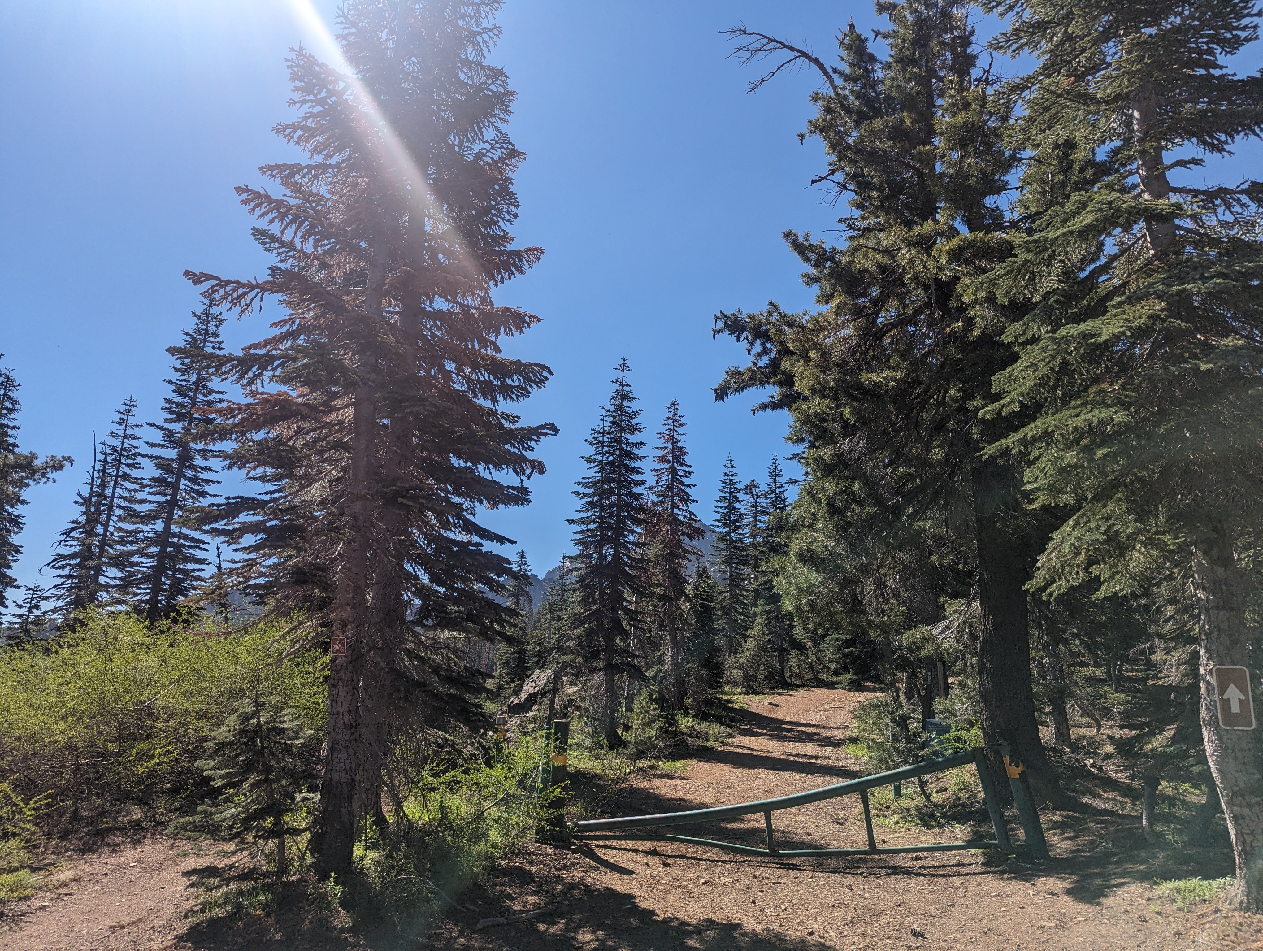 The gate where we started our hike from
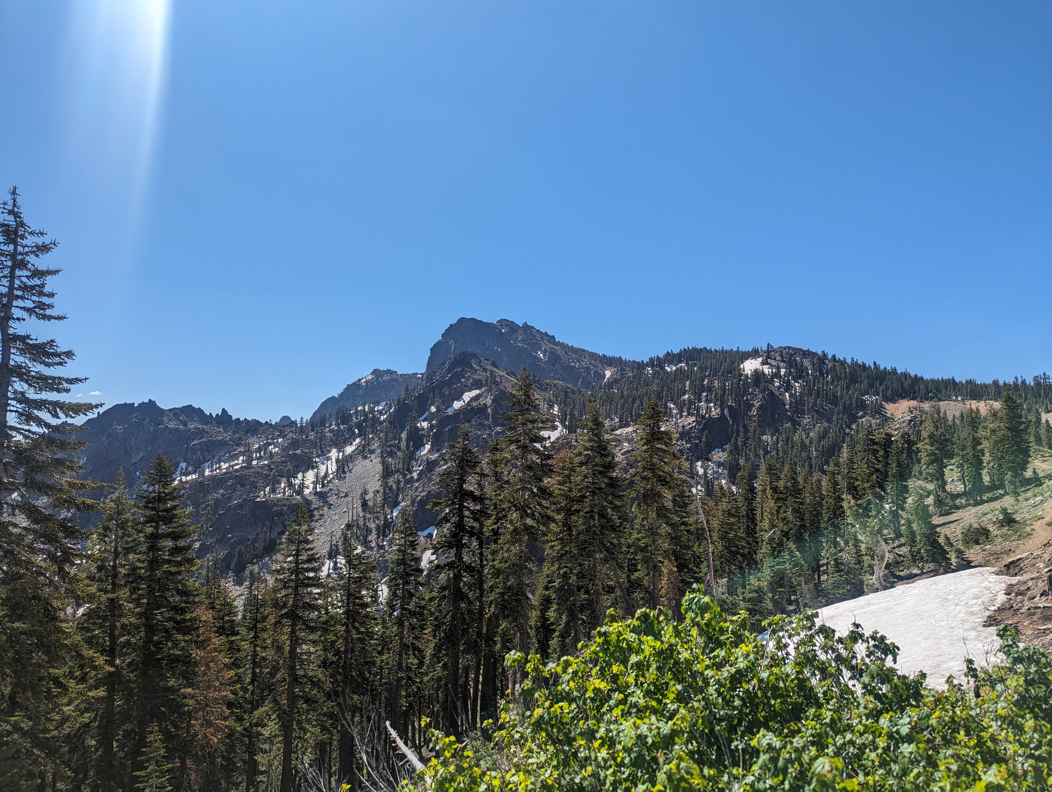 The Buttes coming into view
We got started around 10, and it was pretty warm right away. Thankfully, there was still a ton of snow lingering, and we both packed some into our hats to cool off. The trail went along a pretty sunny ridge towards the south for a bit, before heading back into the trees. In the forest, it was mostly snow with some occasional patches of dirt. We passed quite a few groups of people going up and down the trail, it was clearly a very popular destination.
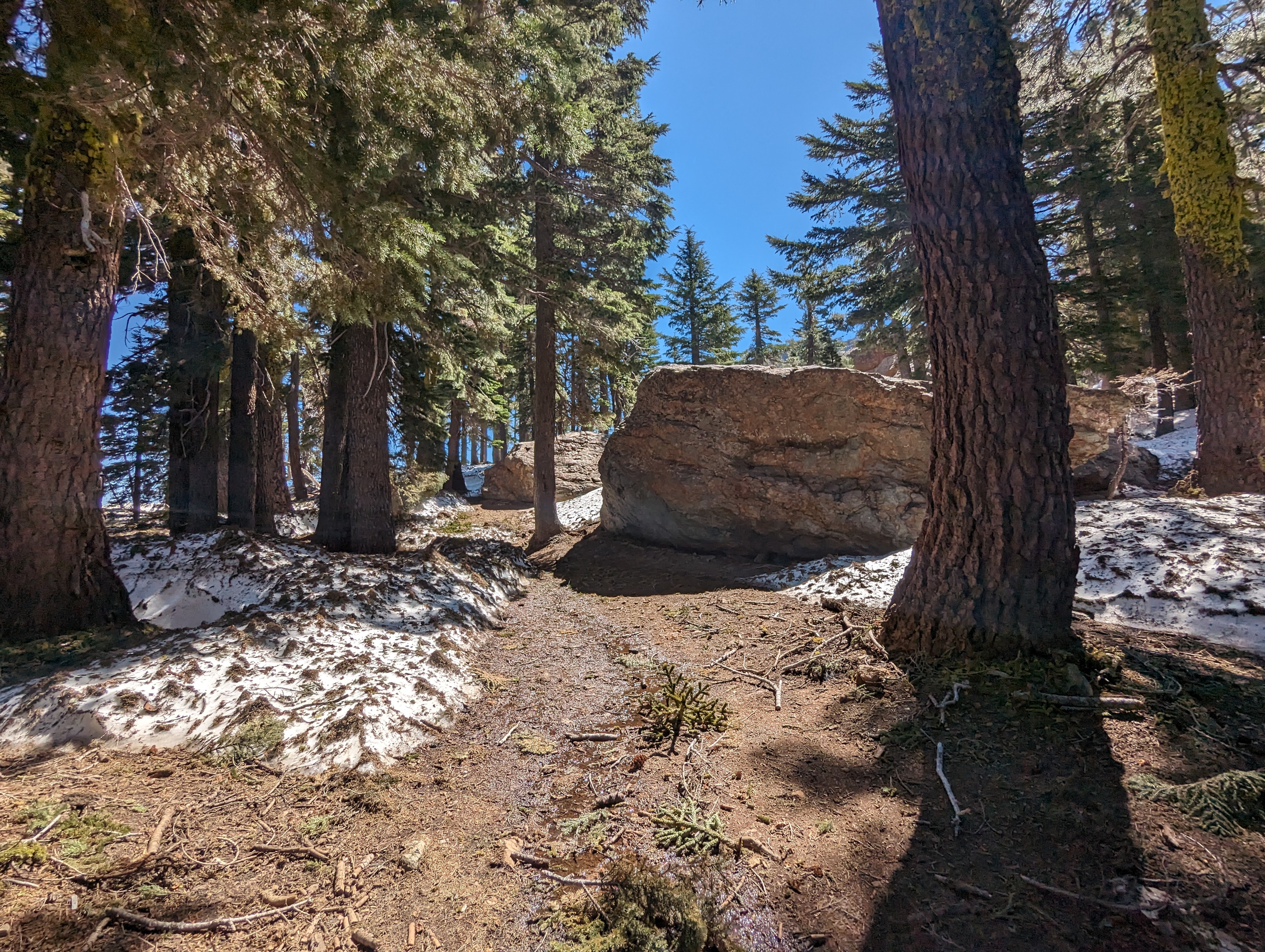 Lingering snow in the trees
Eventually the forest opens up to a fire road that leads up to the summit and fire lookout. We were back in the sun, but it didn’t feel quite as hot up there. The snow was also less of an issue. After wrapping around to the east and some switchbacks, we arrived at the base of the staircase leading to the lookout. The stairs were very well built, and very steep. I don’t think they followed the standard 7 inch rise and 11 inch run of most stairs. We made it up them, and found that we had the lookout to ourselves.
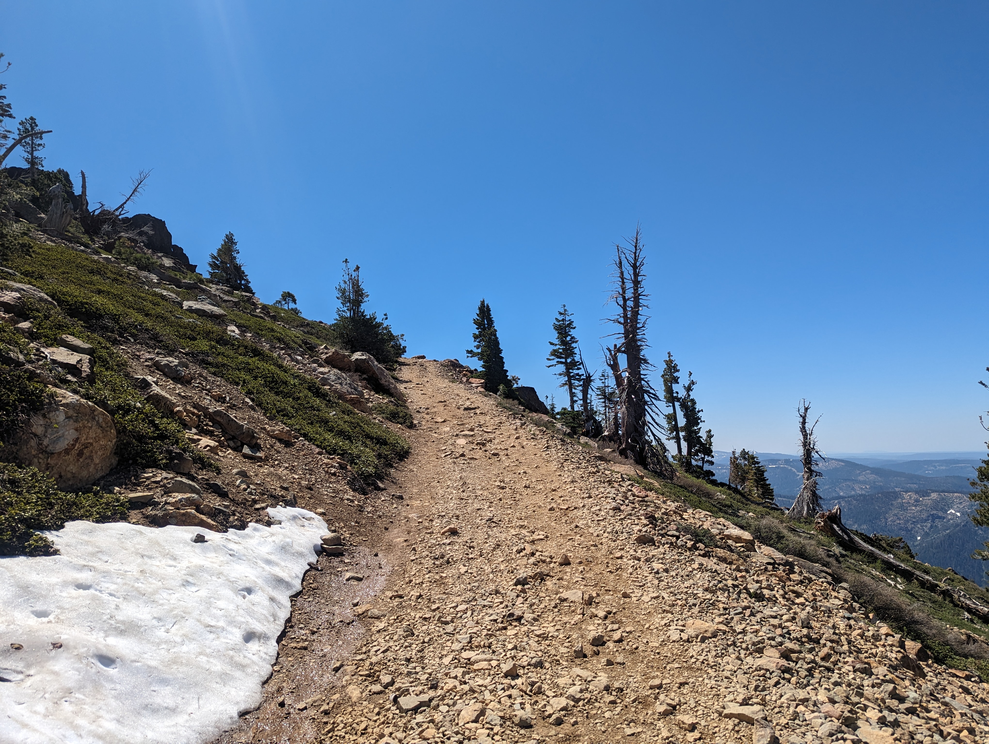 The fire road leading to the summit
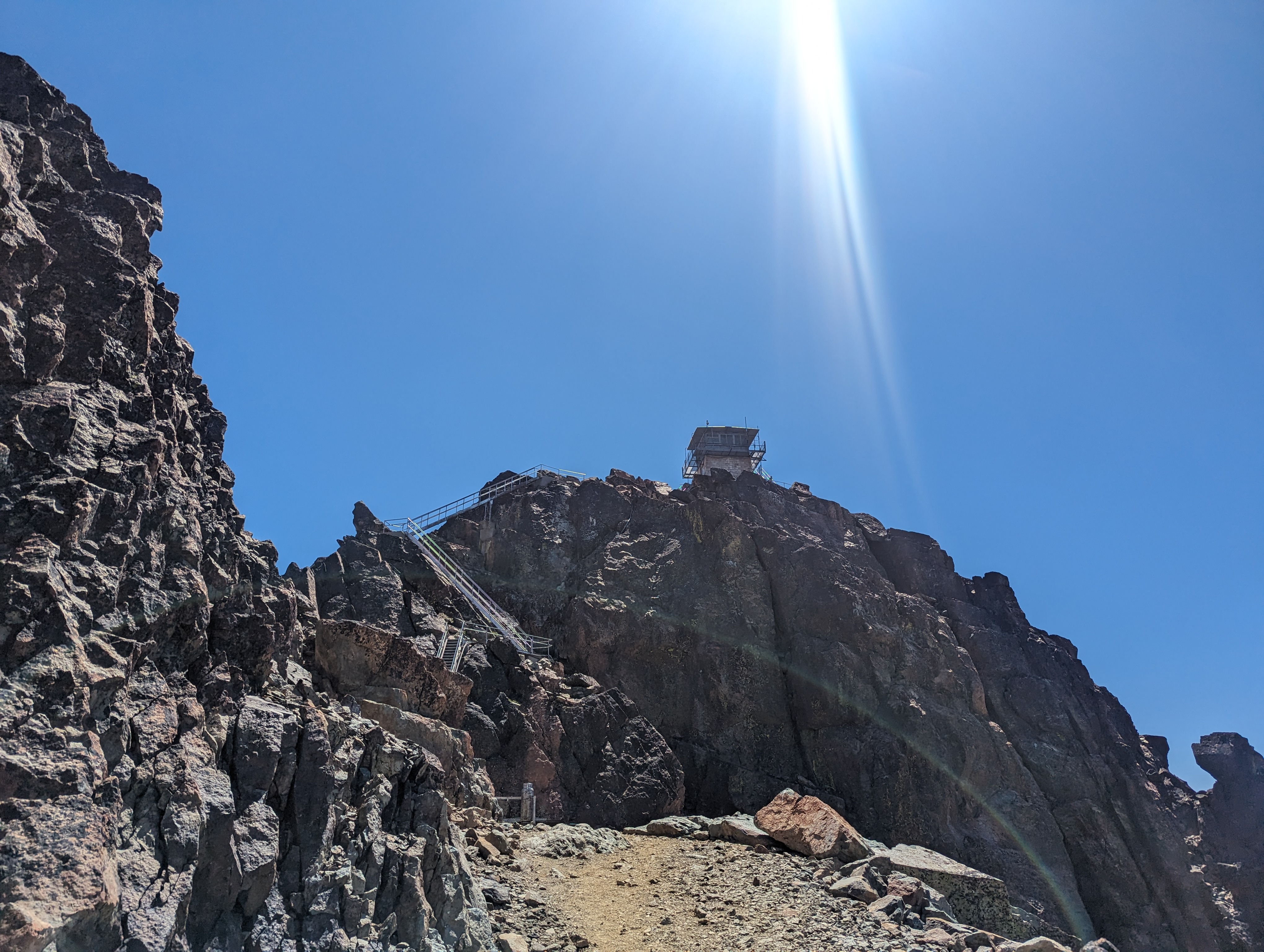 The lookout and stairs that lead up to it
After taking some pictures and enjoying the views, we sat down and enjoyed a nice lunch of cold pizza from the night before. We headed down, and I signed the register, having to find a blank space many pages back from the end of it, because it was completely full. I walked around the base of the lookout a bit, and found a few benchmarks. We then went back down the stairs, and got back onto the fire road.
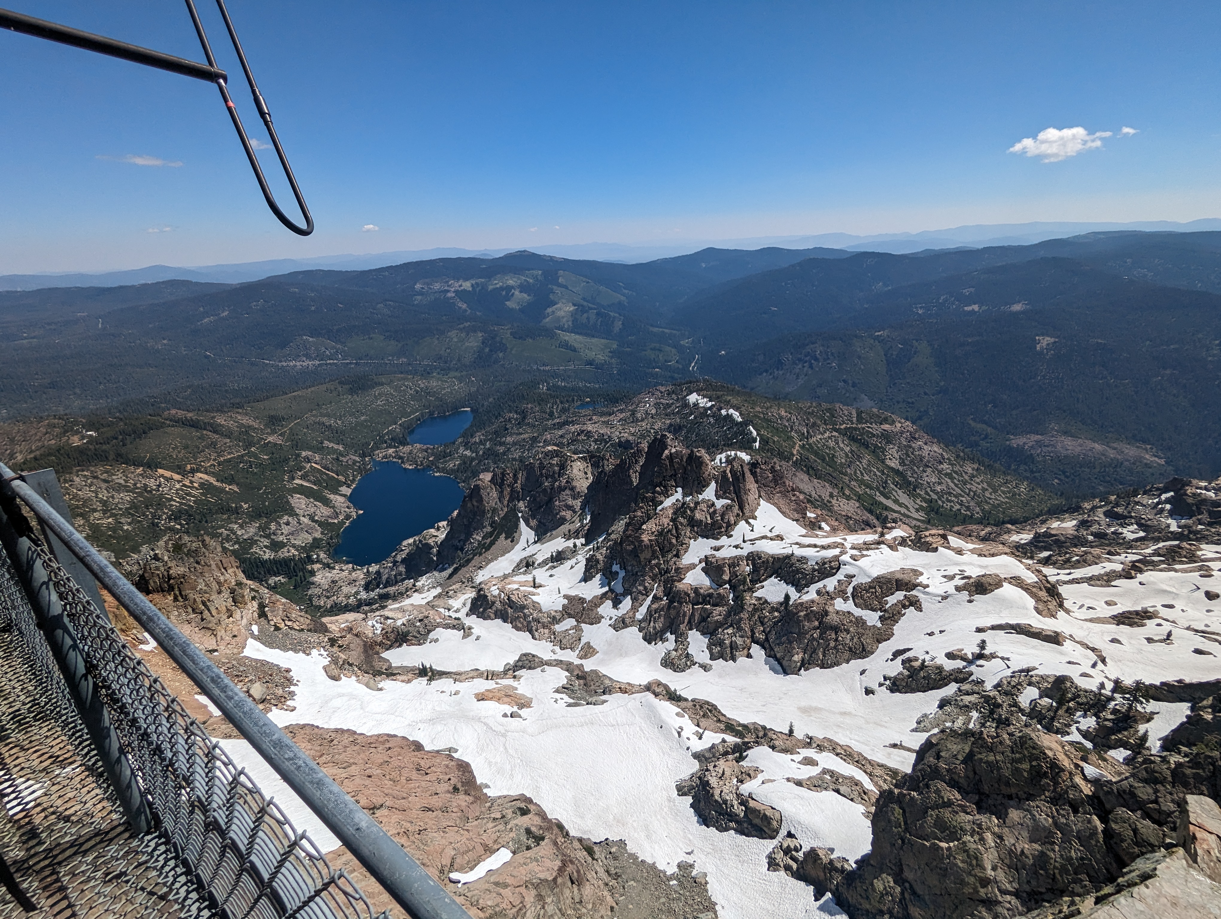 Looking down towards Sardine Lakes
The walk back down was pretty quick and easy, I showed off my glissading skills at every opportunity, sometimes going out of my way to get onto the snow. We lost the trail at one point for a bit, but got ourselves back on track without much trouble. We were back in the car by around 12:45 PM.
 Looking down the way we came up
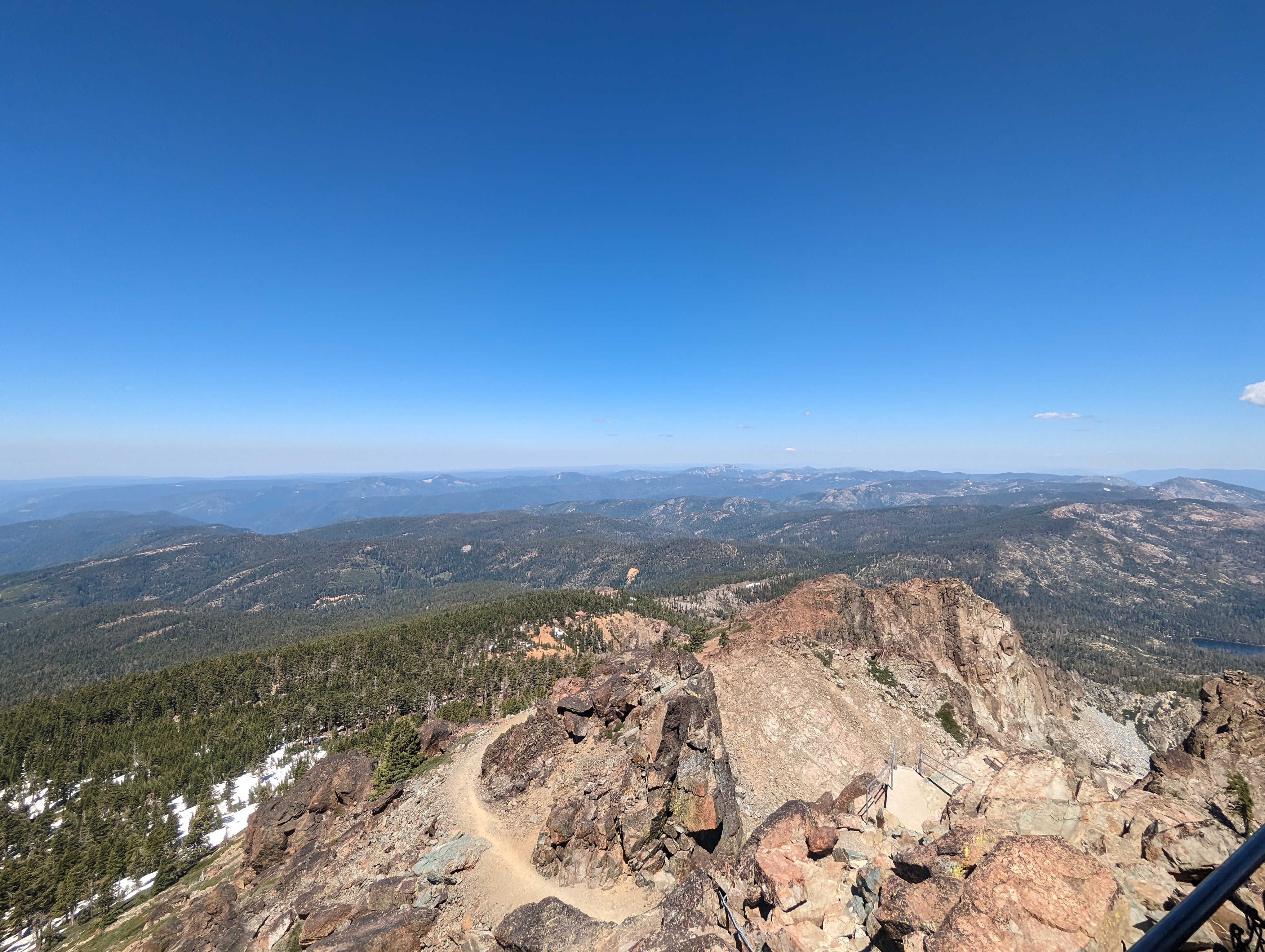
On the way home, we stopped and checked out Downieville. The entire town was full of mountain bikers and tourists. It’s cool to see an old gold rush town like that figure out a niche and manage to still have a pretty vibrant economy for where it is. After Downieville, we stopped again on the side of 49 to go swim in the Downie River. It was a lot of driving, but a very pleasant day out exploring Northern California.