OGUL #38 - Reynolds Peak
July 6th, 2023
I woke up around 5AM at my campsite on Blue Lakes Road. It was a bit far from Ebbett’s Pass, but I had wanted somewhere with service so I could get some info for the next day. I packed up my camp, and drove to Ebbett’s Pass. The road to Ebbett’s Pass is pretty interesting, it completely forgoes the yellow line, and is about 1.5 cars wide over the top. I made it to the pass around 6:45 and crossed the road to find the PCT.
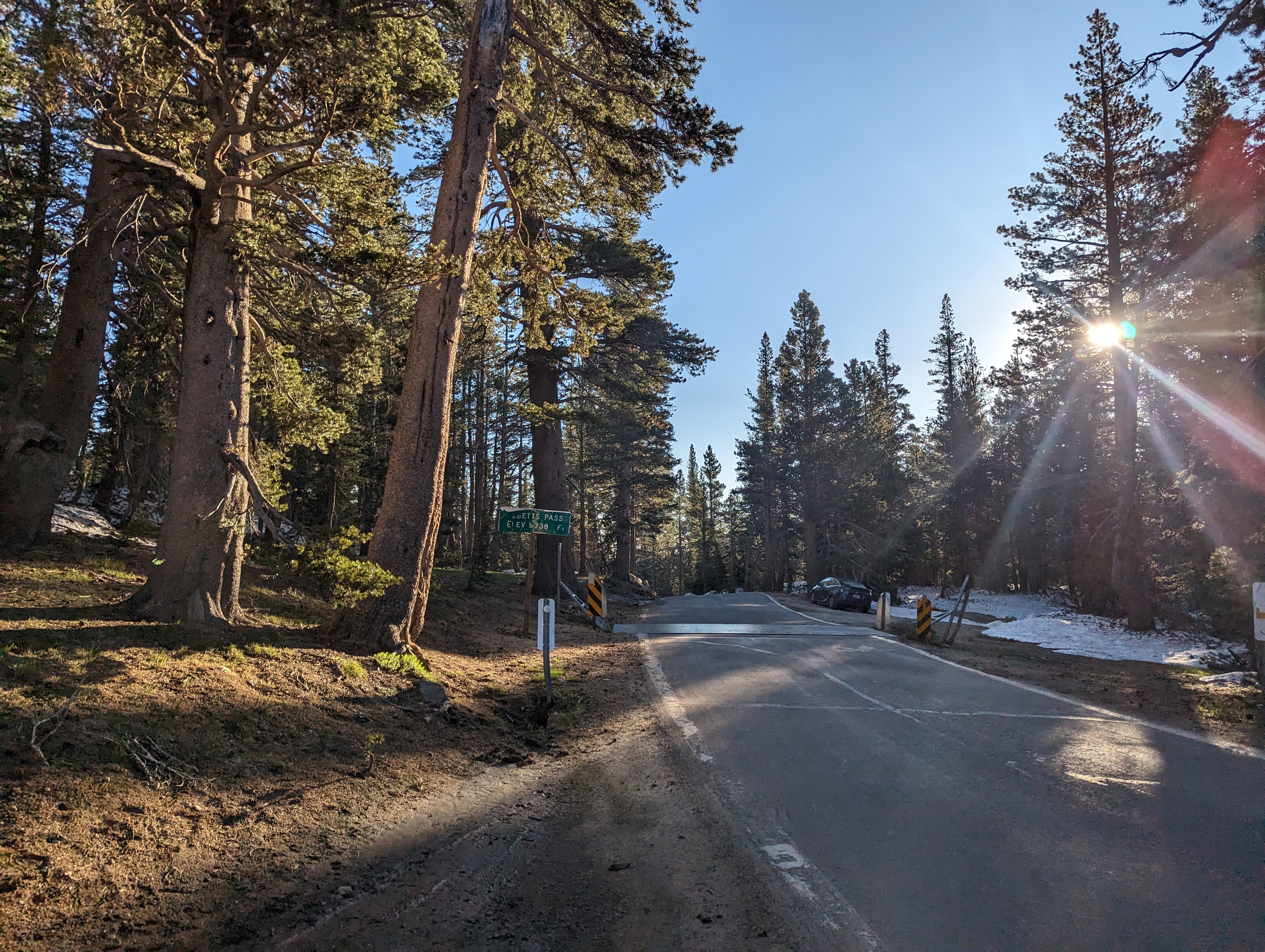 Ebett’s Pass
I was a bit west of the PCT proper, so ended up fumbling around through the snow for a bit. The small valley I was in smelled badly of a dead animal, so I did my best to get above it, and soon linked up with the trail. Reynolds Peak came into view, and it definitely looked a bit intimidating. There was still quite a bit of snow here, which made for tricky navigation, and I knew that the afternoon would be interesting once it got a bit warmer.
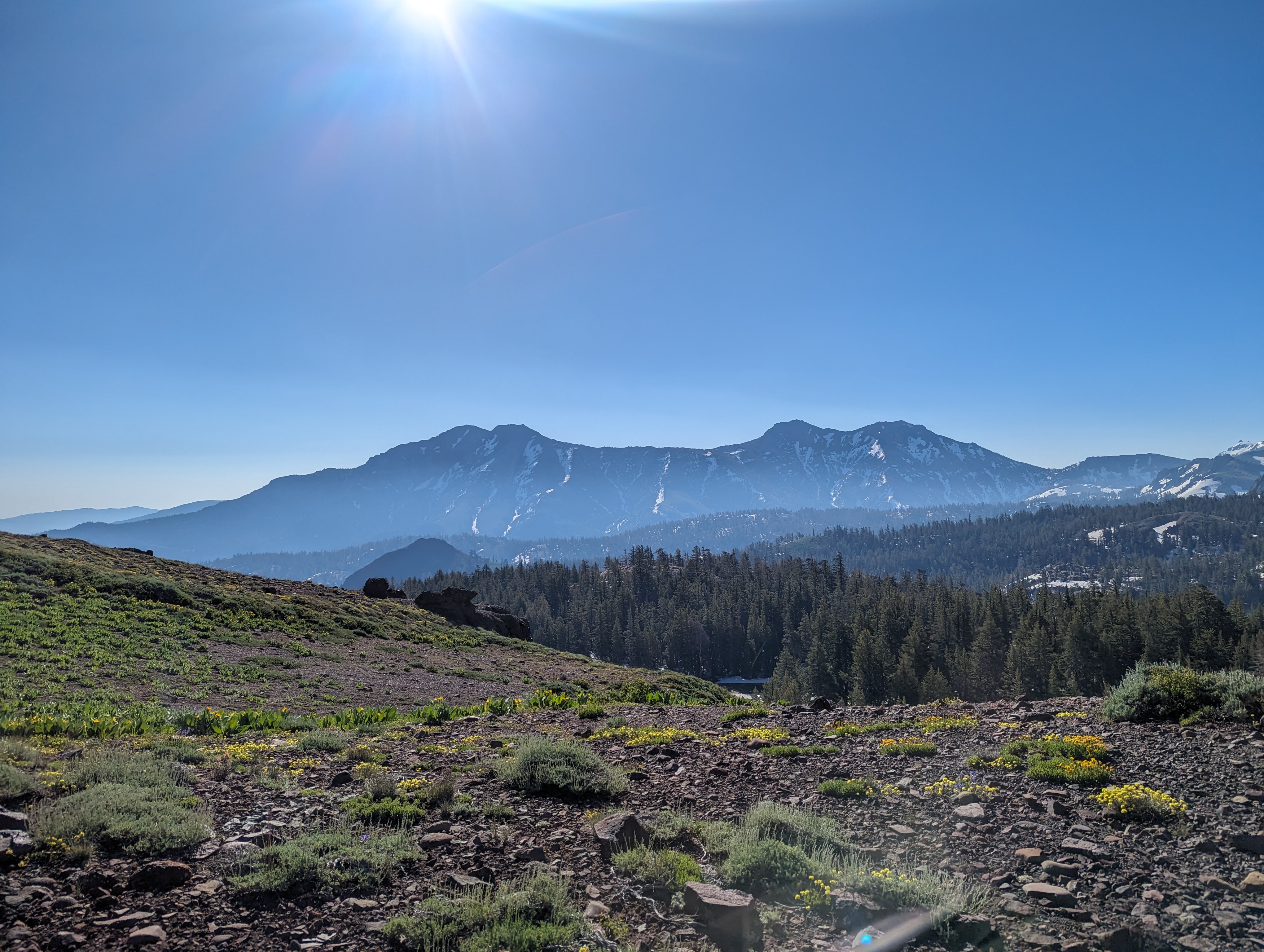
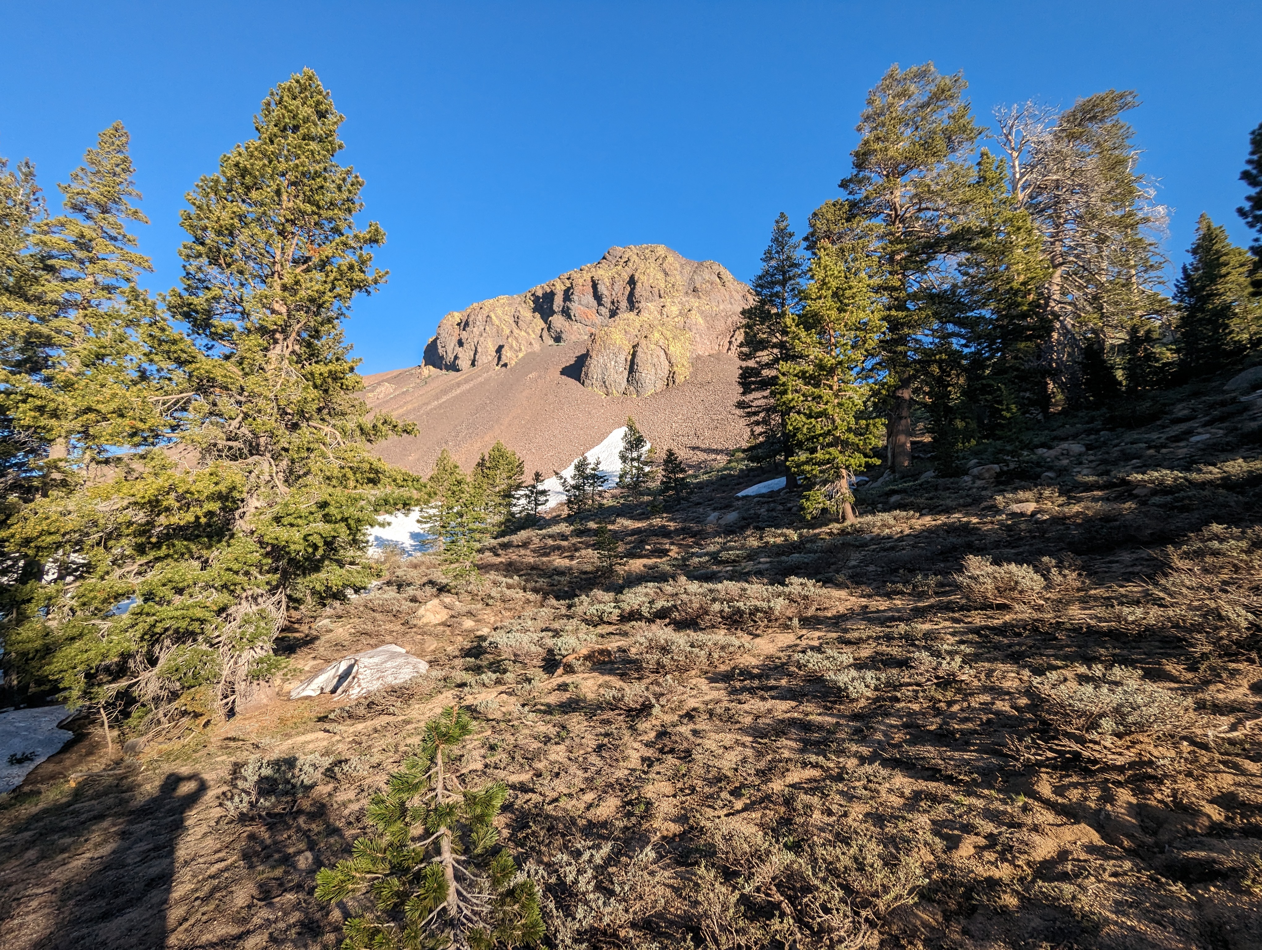 Ebett’s Peak Coming into View
 Reynolds Peak (slightly left of center)
I found patches of the PCT here and there, but was mostly relying on footprints, and occasionally checking CalTopo to stay on course. This took me along the side of Upper Kinney Lake, where I started cutting off to the northwest towards the ridge that leads to Reynolds Peak. The start of the ridge was pretty pleasant, and thankfully mostly free of snow. I made good time up it, and was soon up around 9000 feet.
 Heading up the Ridge
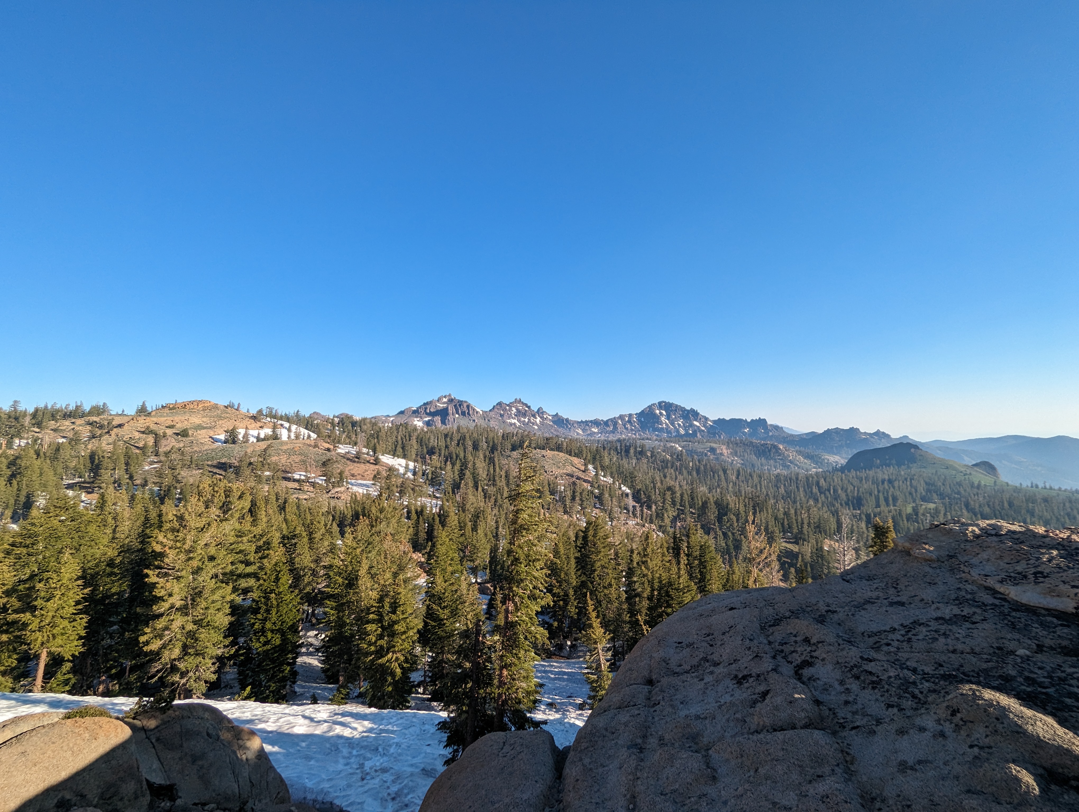
 Looking back towards the Highland/Silver Peak Massif
From here, things got a bit more tricky. I needed to go a good distance, but the top of the ridge was not going to be a good place to walk. I opted to stay below the top, which meant a lot of chossy sidehilling. The entire time, I was well aware that rockfall was a common thing here, so I tried my best to stay a good distance below the steep vertical stuff.
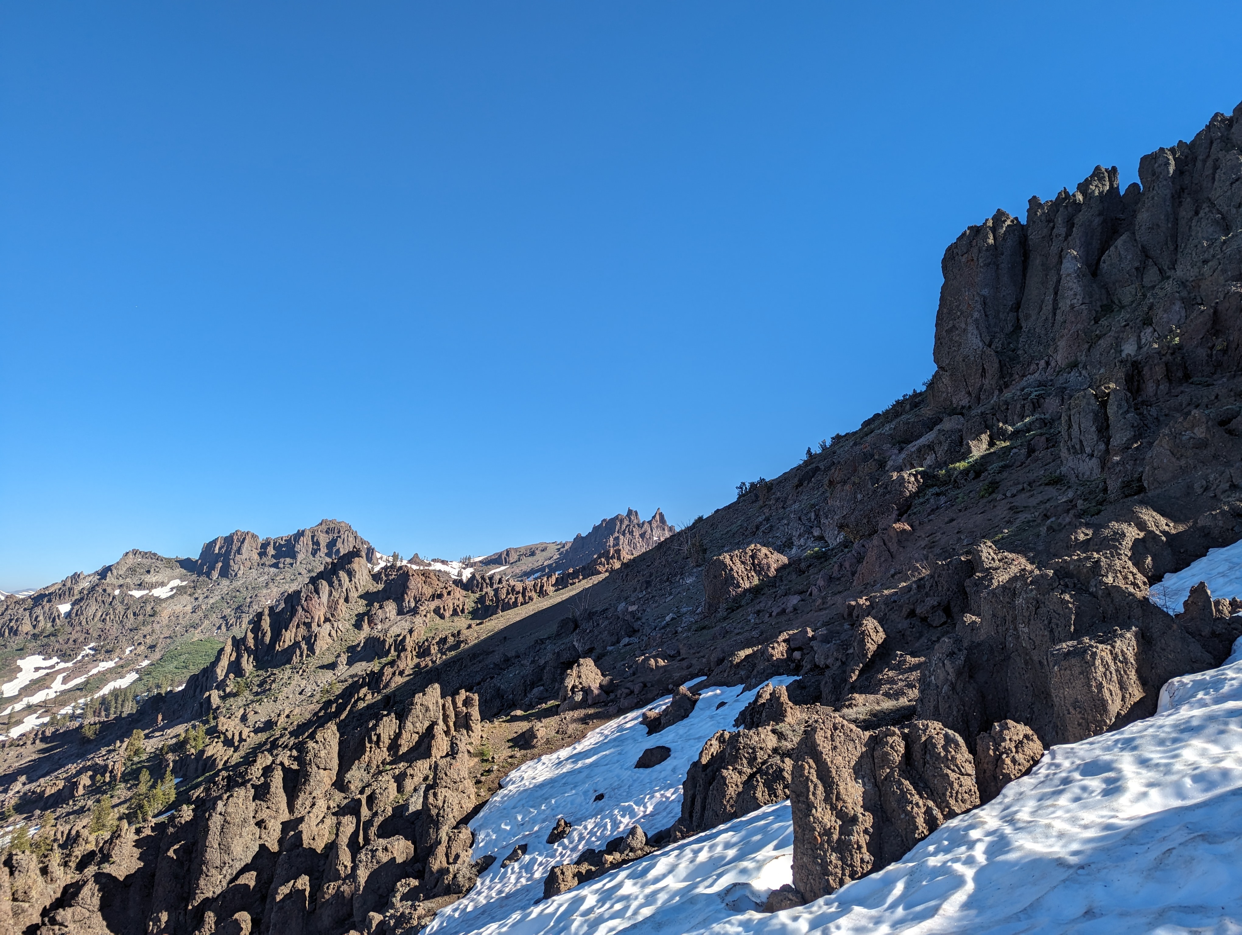 The slow, slippery traverse
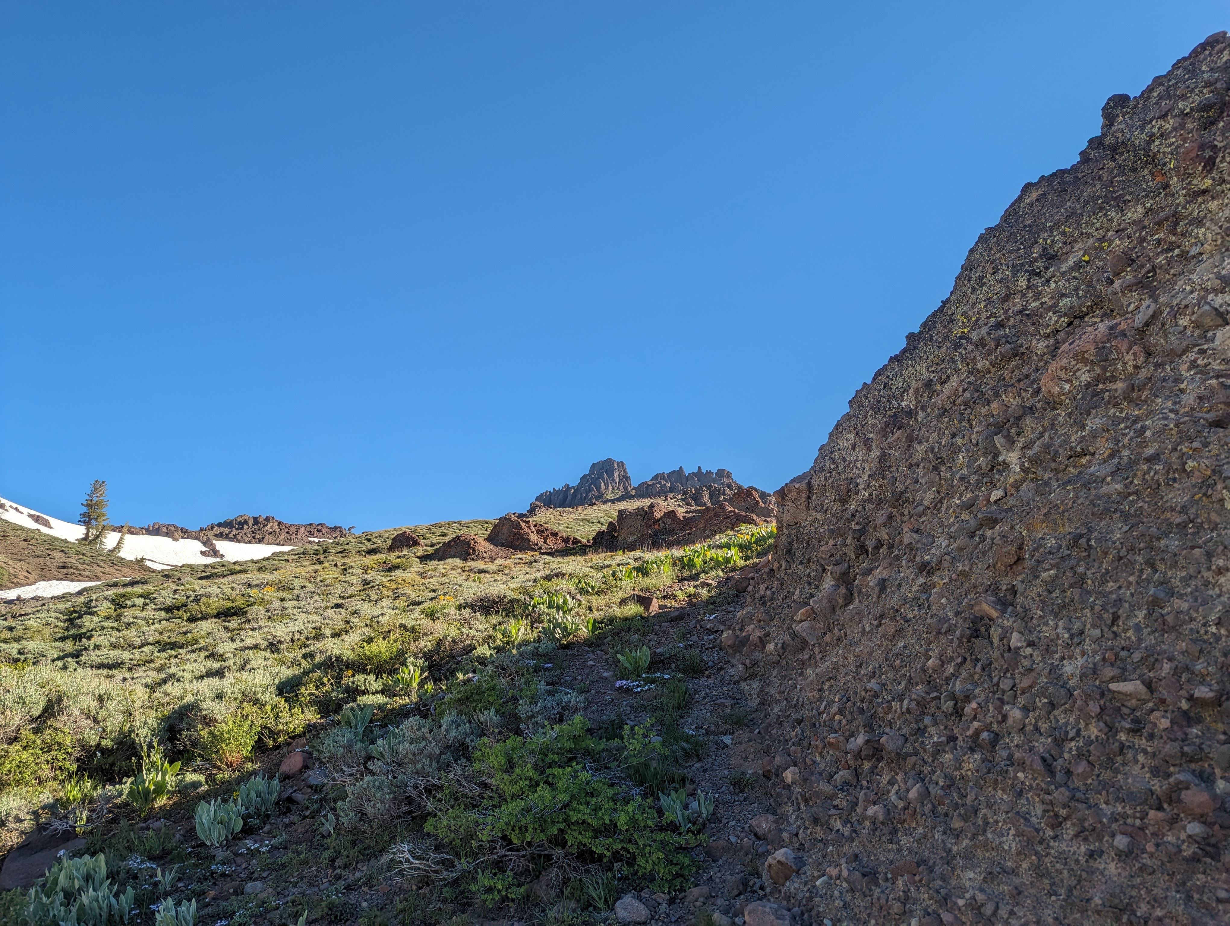
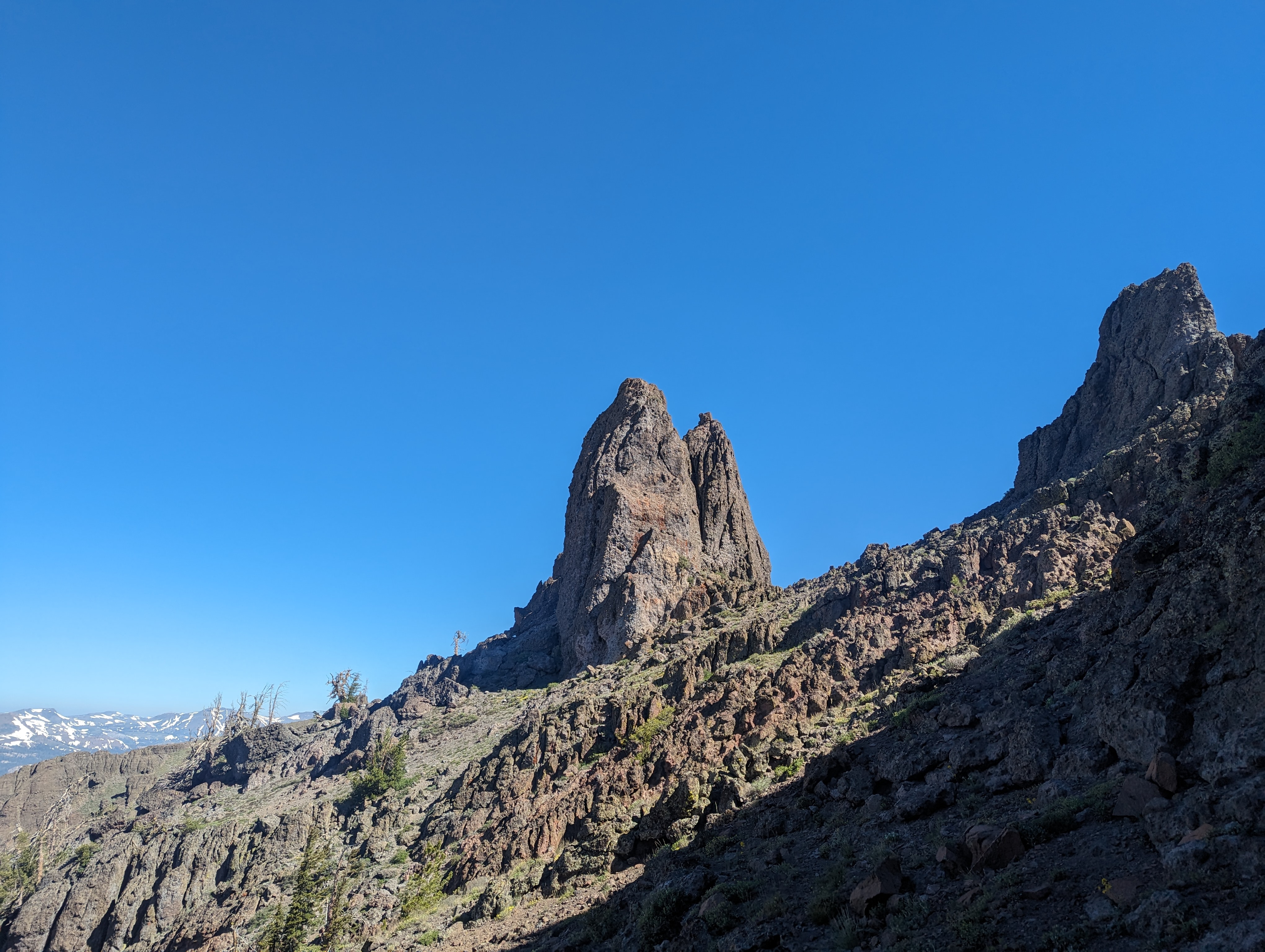 Reynolds Peak from the North
I stayed on the west side of the ridge, and a few hundred feet below the top most of the way over to Reynolds. As I got closer, the mountain looked more and more imposing. I knew not to be too worried, as I couldn’t see the route from this side. After a lot of precarious walking on what felt like ball bearings, I arrived at the base of the class 3 section leading to the summit. I dropped my pack and poles near the base of the climb and headed up.
The class 3 section was a bit exposed, but very easy. The holds were all solid, and none of the moves were very difficult. The crux of the climb was probably a large boulder near the top that one has to either go over or around, I chose to go over it. I made it to the summit quickly, snapped a few pictures, and sat down to sign the register.
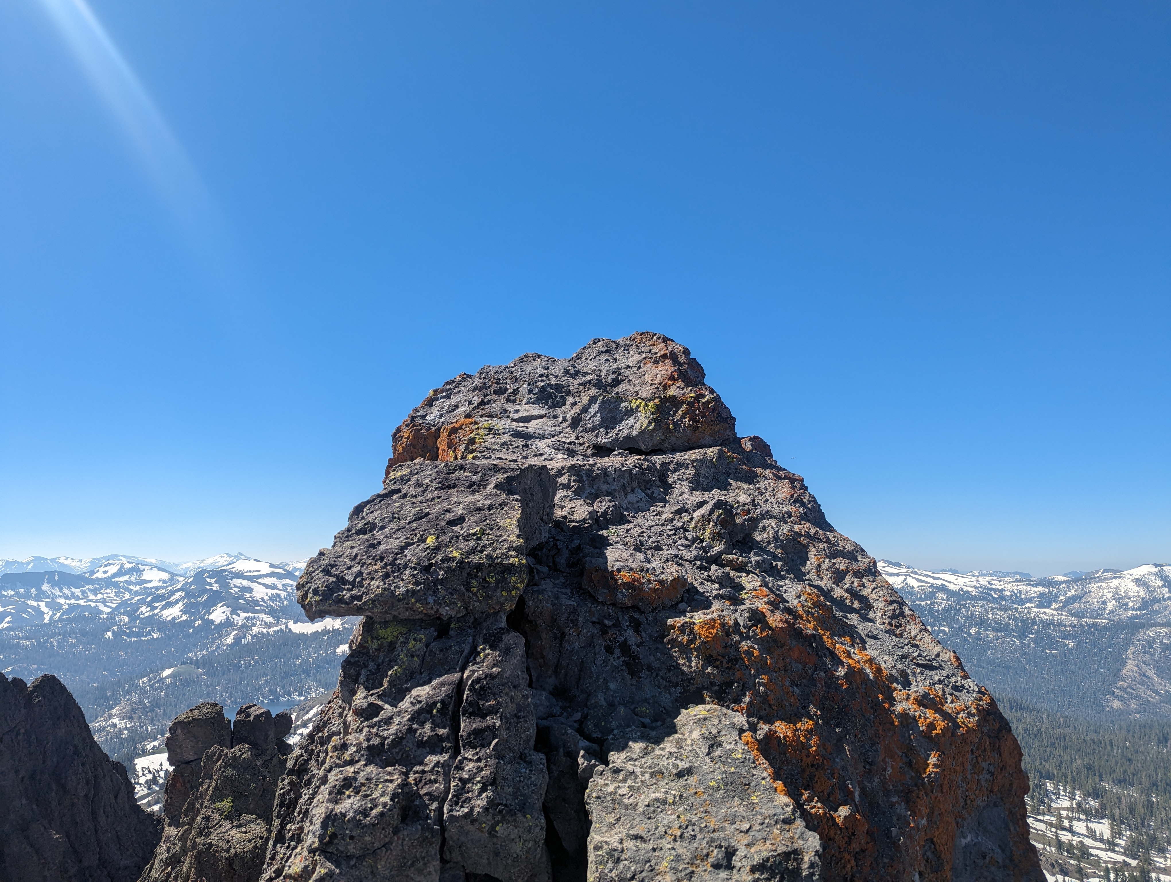 Just below the summmit
The register went back to 1984, Pete Yamagata and some other Sierra Club members had placed it. Pete’s name comes up all over the place in Tahoe area registers, and I’ve used his website for information more than once. I flipped through the pages, and added my own entry before heading back down the way I came up.
 Summit Panorama
After picking my backpack and poles back up, I started to retrace my route back towards Upper Kinney Lake. I tried staying a bit higher on the ridge this time, which in hindsight made things a bit trickier than they needed to be. I came across several more technical downclimbs, most between class 3 and at worst easy class 4. One of which had a rock come loose, which caused me to painfully bang my shin on the rock. Before too long though, I was back at the saddle between Reynolds and Peak 9520.
 Peak 9520
I had considered using this spot to drop down to the meadow below, but upon further inspection, it was still quite snowy, and the snow would be soft by this time of day. Instead, I set my sights on peak 9520, which I had walked under on the way in. The peak looked like it might be too difficult to do without a rope, but I had to try to find out. The very top block looked quite imposing from below, but I figured it may have a weakness like Reynolds does.
I followed the ridge up, and got to the base of the big block without much trouble. The block ended up having a decent looking crack going up it, it looked to be a class 4 climb with a bit of exposure, but it was only about a 25-30 foot drop or so. I decided to go for it, climbing the first half or so with ease. At that point, I got to a more difficult move, and paused for a moment. I was close to turning back, but something told me to go for it, so I did. I easily climbed up it, and was on the top in short order.
 The route up Peak 9520
 Peak 9520 Summit Panorama
I looked briefly, but didn’t see a register, so I snapped a few pictures and decided to downclimb while I still had some adrenaline from the climb up. The downclimb was pretty easy, the same crux didn’t give me any issues once I knew I had gone up it. I got to the base, and once again saddled up my backpack and poles to continue down.
I stopped in a vertical meadow above Kinney Lake to enjoy my southwestern salad for lunch, spending a good 20-30 minutes relaxing. It was a beautiful spot for a nice leisurely lunch. After I finished eating, I continued down towards the PCT, picking it up a bit further than I had taken it that morning. The snow was thankfully not as soft as I was worried it would be, but still made route finding difficult.
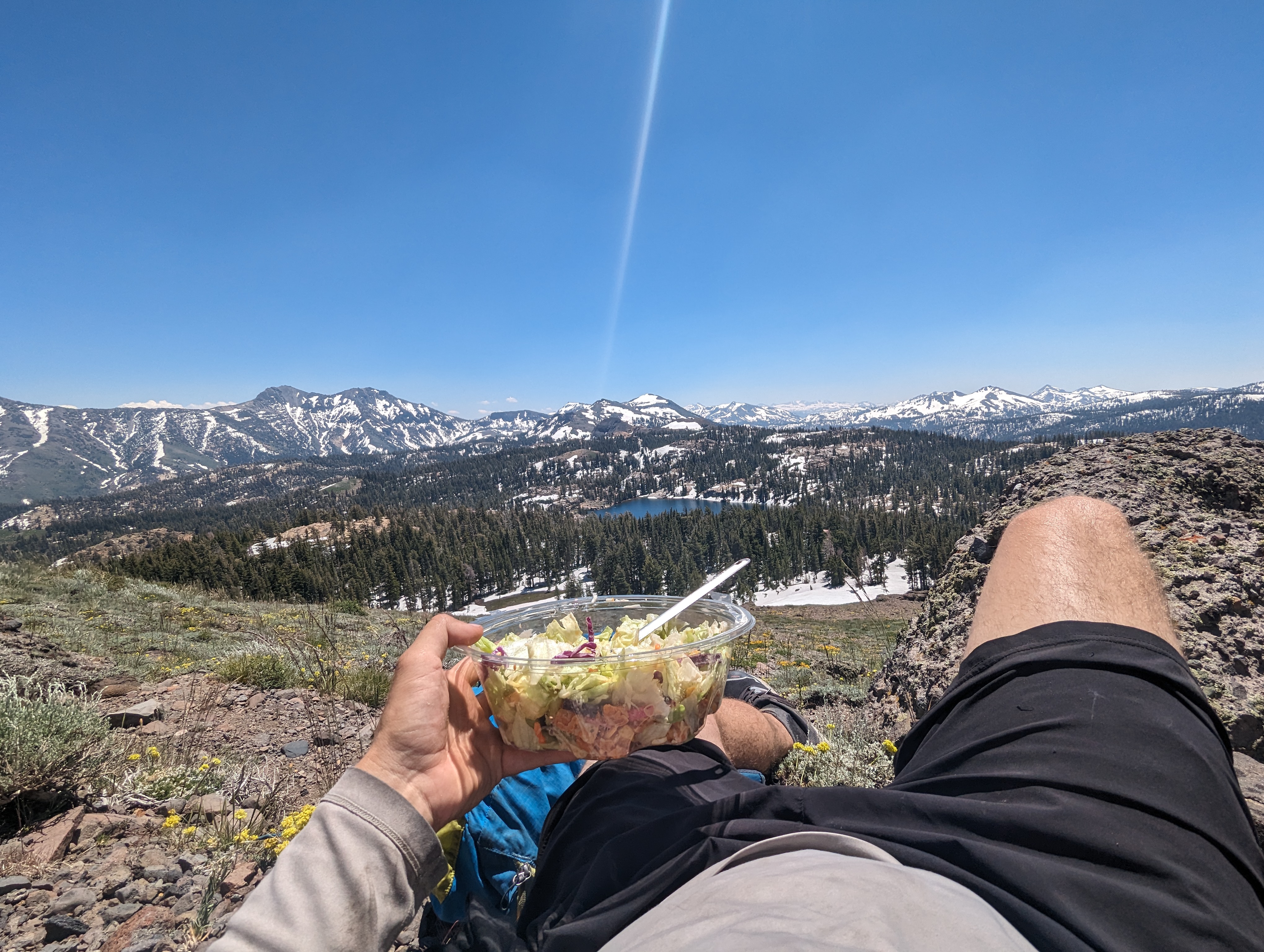 Lunch with a view
I made good time back towards Ebbett’s pass, stopping only to figure out where the PCT was underneath all of the snow. Around Sherrold Lake I heard a distinct buzzing noise in the sky, and saw a drone flying above me. After that, I took the PCT back all the way to highway 4, and walked the brief section of road back up to the pass proper where my truck was.
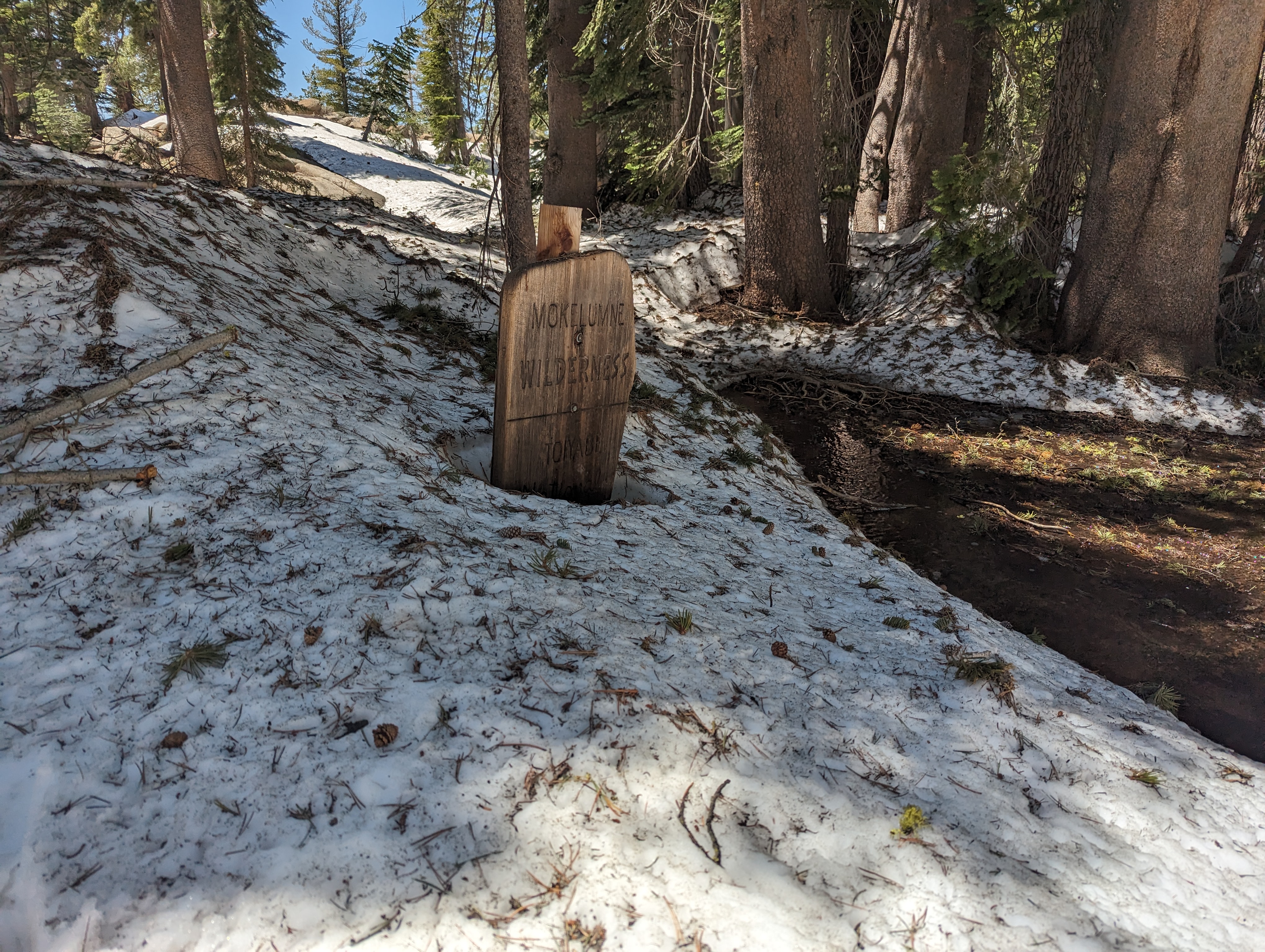 Still lots of snow in the trees for July