Desolation Wilderness North Lakes Tour
June 27th, 2020
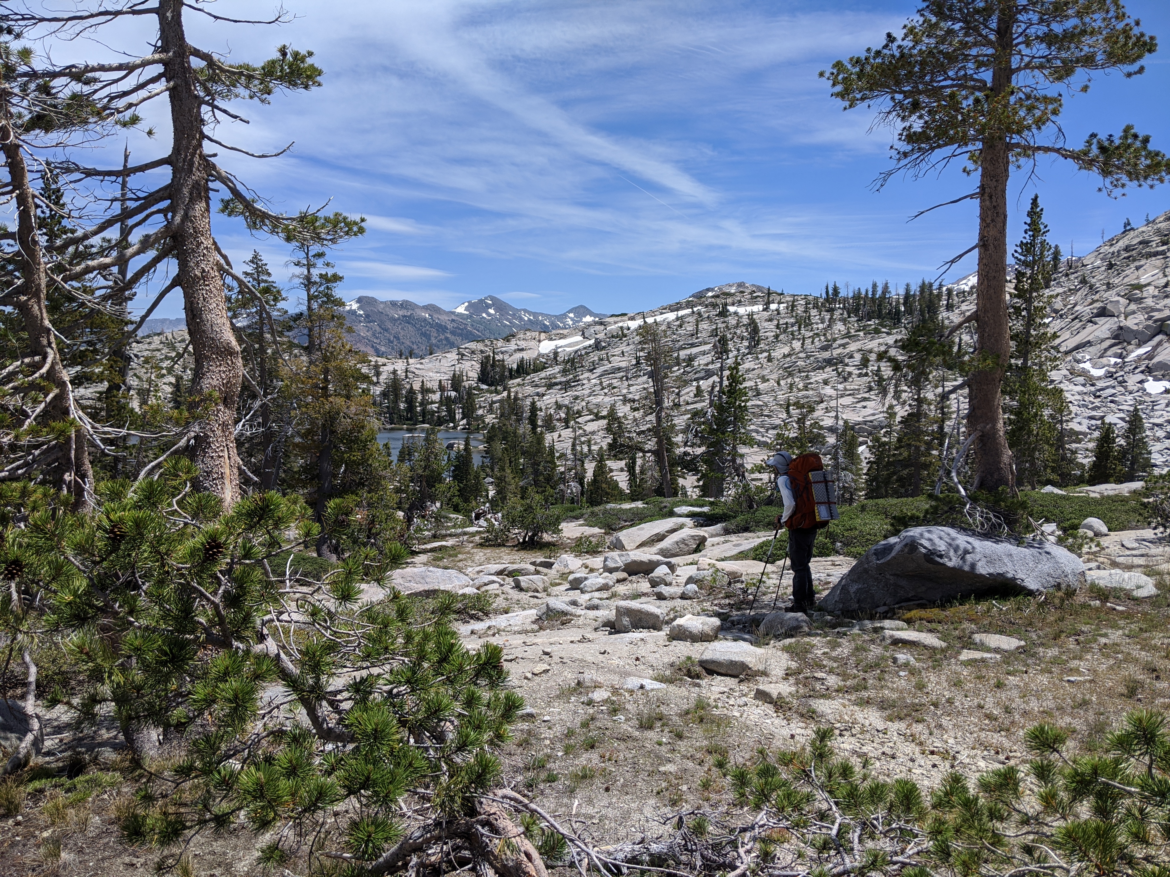
My Dad, Jed and I went on this hike with the intention of doing a shakedown overnight trip to test our legs and gear for our upcoming PCT section hike. We arrived at the trail head at 7:30 that morning and started towards the Forni lake trail with plenty of mosquitoes to keep us company. The first leg of the journey was fairly uneventful, I’ve hiked to Forni lake probably a dozen times or so. We made good time to the big Mule’s Ear field, which was just starting to bloom.
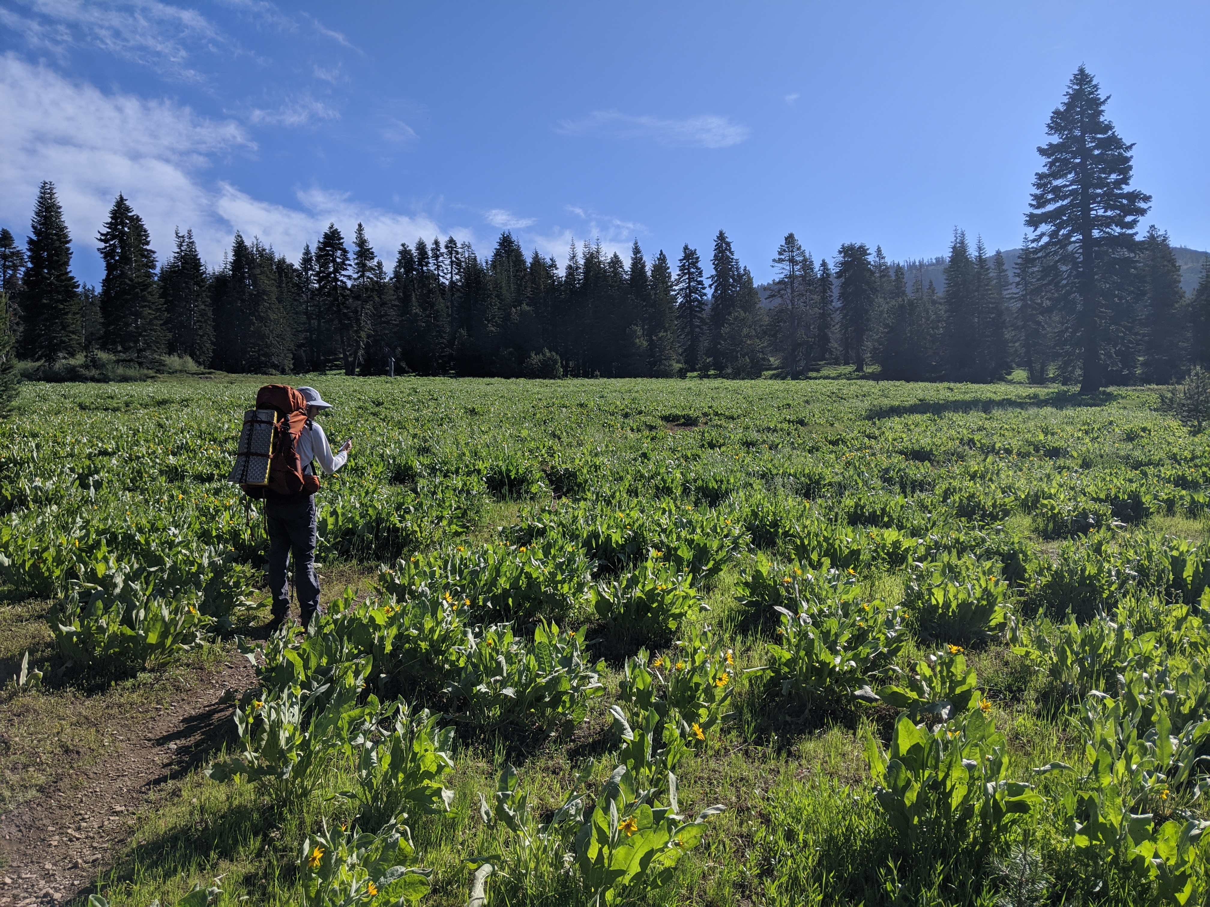 Jed in the field of Mule’s Ears
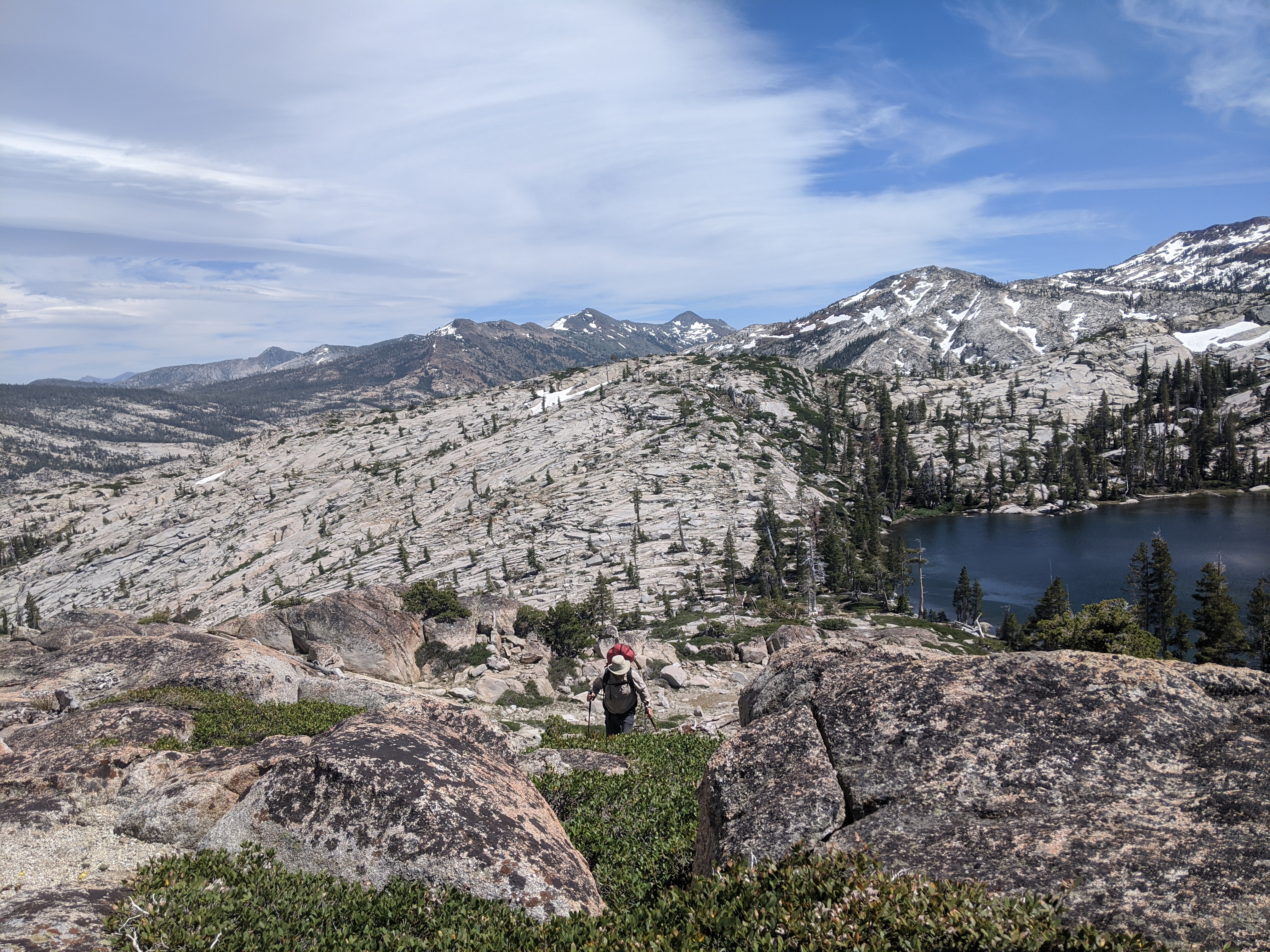
We made it to the lake not long after, and opted to climb the ridge south of the lake rather than take the trail that leads to Tell’s Peak.
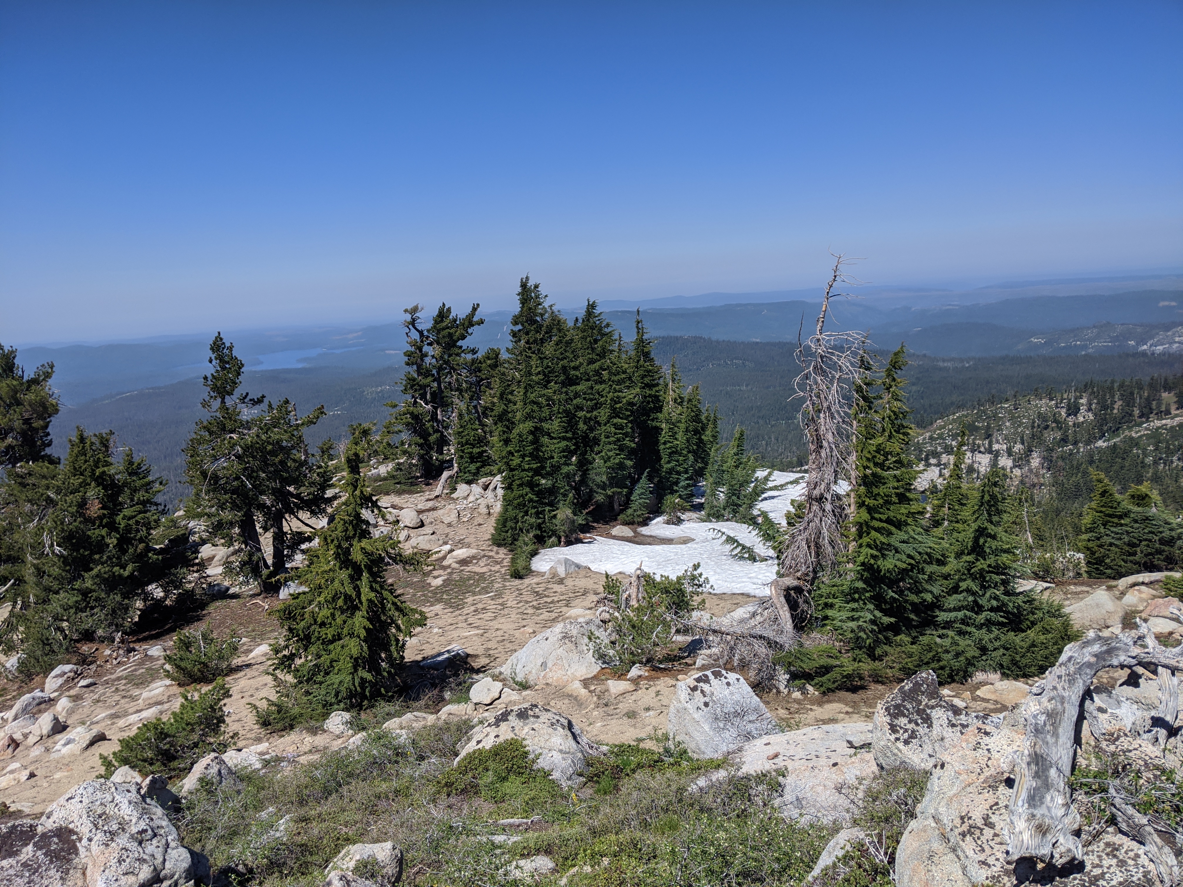 Looking west from the top of the ridge
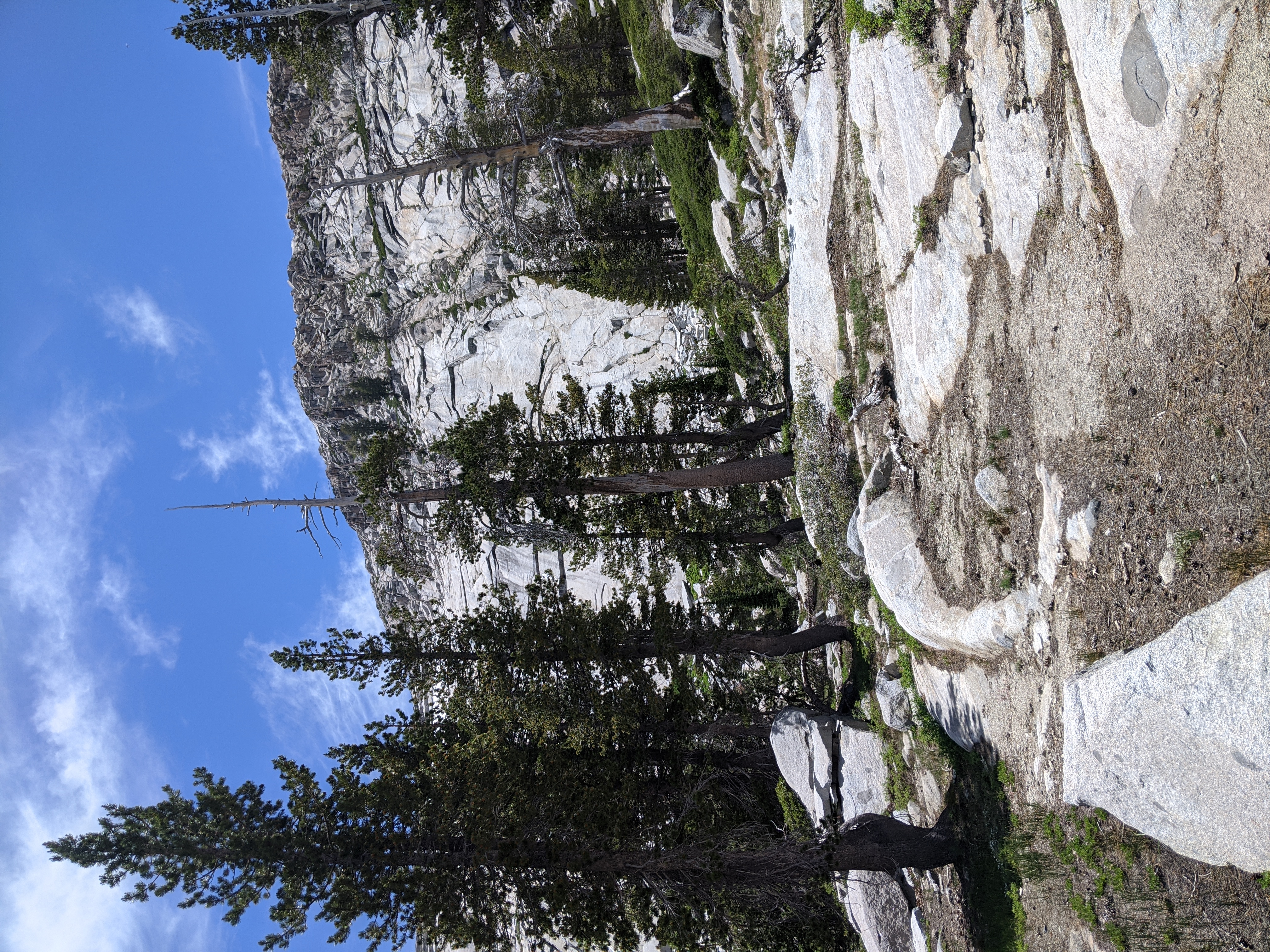
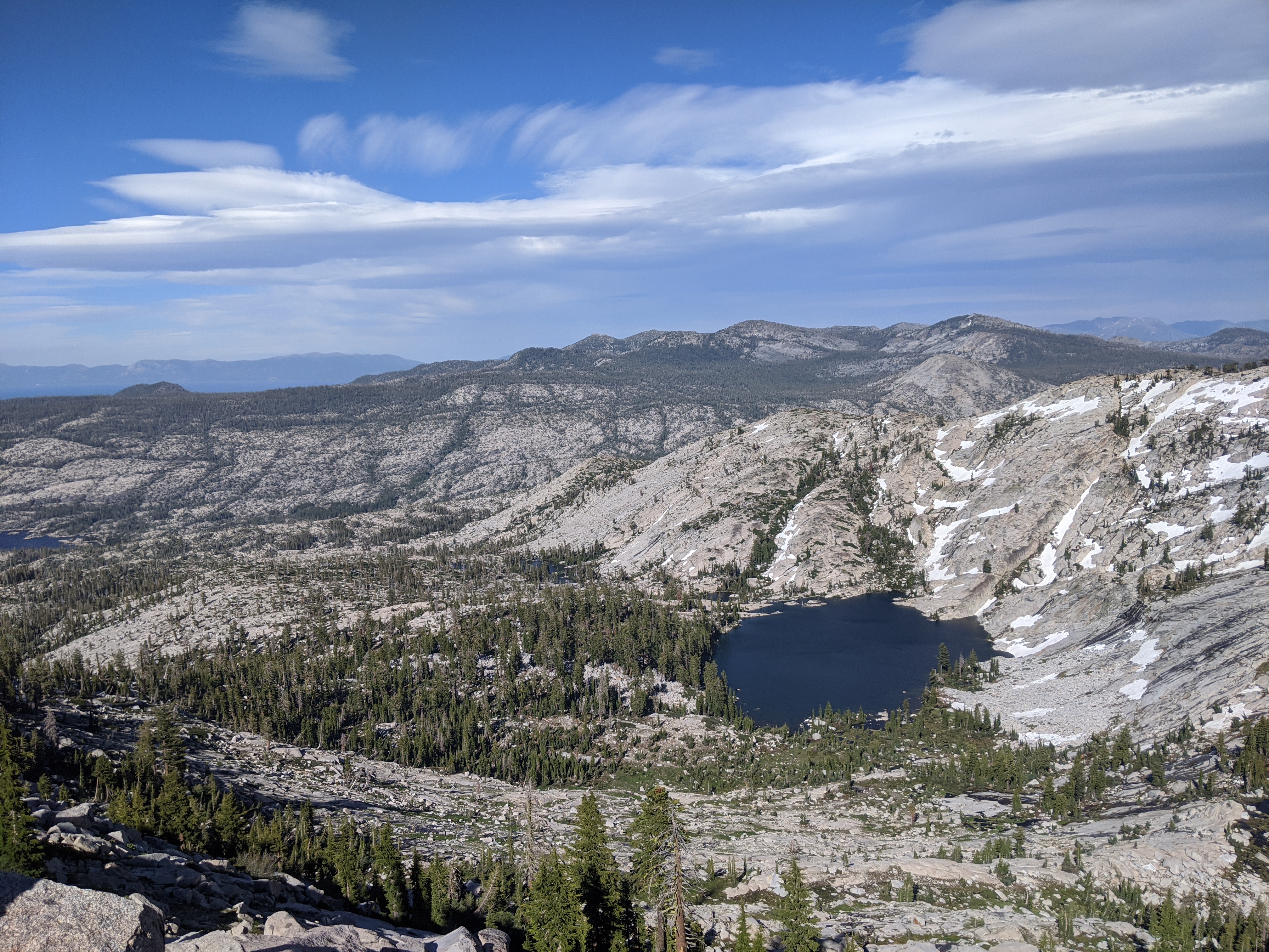
By 10:30, we were on top of the ridge with a great view of nearby Crystal Range peaks, as well as a sliver of Tahoe(there was a bit of haze that morning, but we could just make it out).
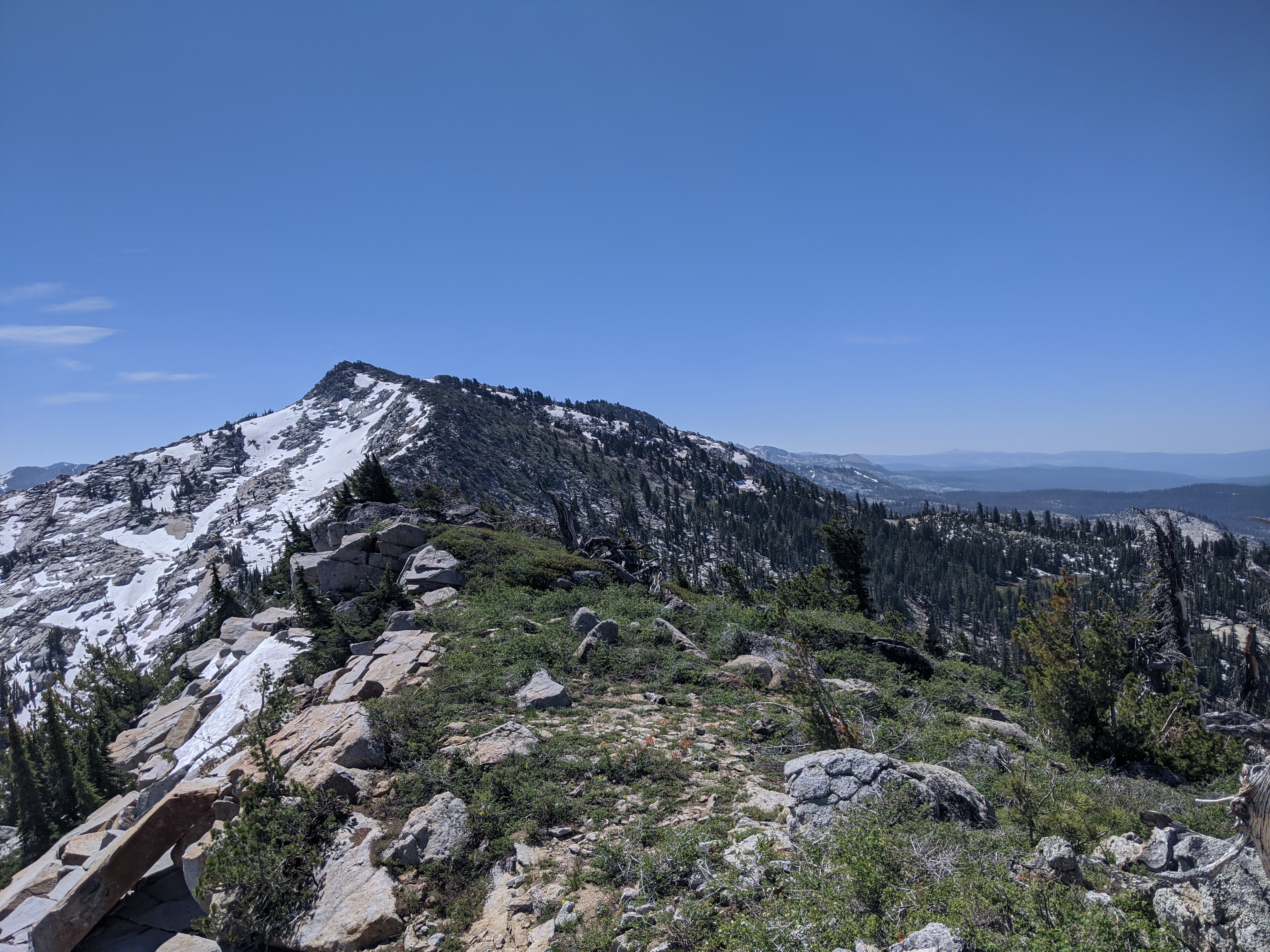 Looking south toward McConnell peak
We hung out for a few minutes, and discussed what looked like the best option to get down to Highland Lake. We decided to go down a drainage just to the right of where we crested the ridge. It was a big slow going at first getting down some large drop offs, but overall not too bad. We made it down to Highland Lake right around lunch time.
 My dad descending towards Highland Lake
At Highland Lake, we were happy to count at least 50 yellow legged frogs in a small area where we ate lunch – a species that was classified as endangered just a few years ago. It seems that the remoteness of this lake has worked to the frog’s advantage.
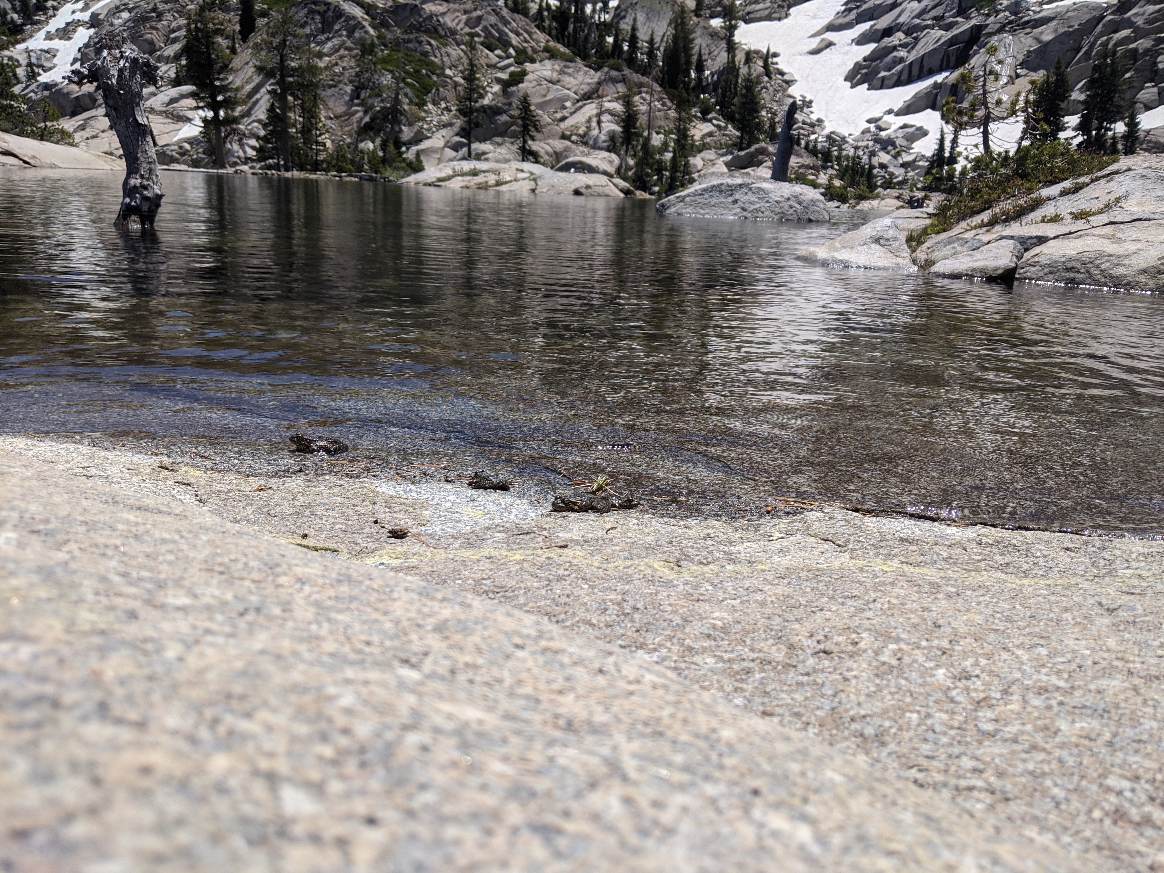 Yellow Legged Frogs
We hung out for probably 30-45 minutes, eating lunch and taking a few quick dips into the frigid alpine water. At one point we heard what sounded like thunder, and saw a large sheet of snow get dislodged from the steep granite slabs southwest of the lake. Before long we packed up and started making our way to the next lake.
My CalTopo map showed a trail from Highland Lake to Lake Zitella, so we decided to try to find that. After a few hundred yards of walking along what was supposed to be a trail, we realized that the trail was probably long forgotten, and more of a route. We passed a few small lakes that flowed out of Highland, and crossed the drainage a quarter mile or so east of the lake. From there we continued southeast towards a saddle between 2 points that led us to Lake Zitella.
We ended up choosing probably the worst possible route up the saddle, going up a very steep creek covered with slippery moss and grass, at one point skirting a small waterfall.
 the small waterfall
Before long though, we were at the top of the saddle looking down at Lake Zitella.
 Jed looking down towards Zitella Lake
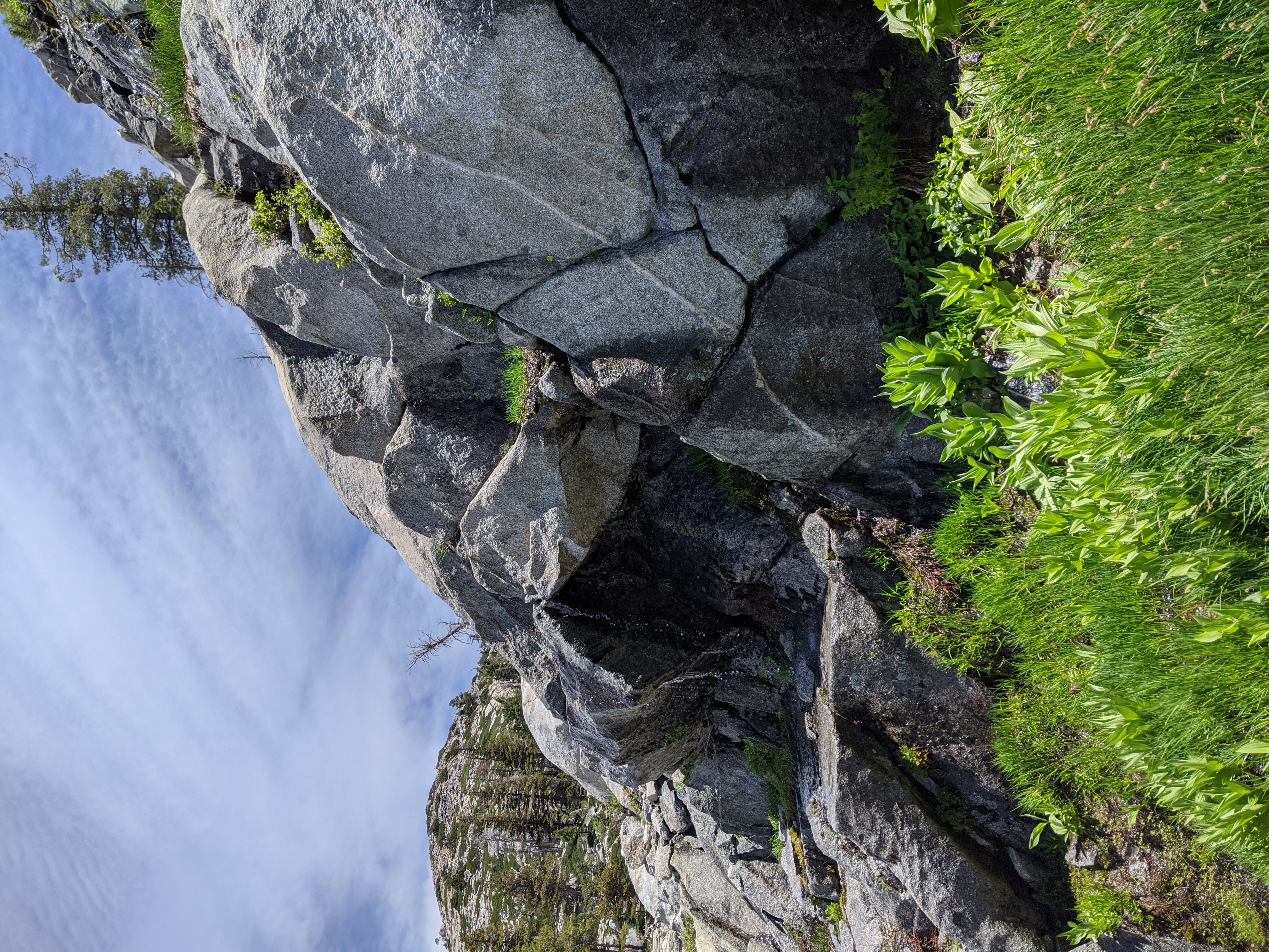
We saw some impressive and steep granite slabs to the west of the lake, Desolation continues to impress me with its immense amounts of granite.
 Steep granite slabs above Zitella Lake
At Zitella, we stopped again for more snacks and swimming. The water was surprisingly warm compared to Highland lake. At this point we decided it would be good to turn back, since we didn’t have an overnight permit and needed to camp outside the desolation boundary. We found a better route to the east of the saddle, and made our way back down to the Highland Lake drainage.
 My dad climbing back towards Highland Lake
We made much better time getting back down to the Highland drainage, and started the long slog back up. Looking up towards the ridge south of Tells peak was daunting. We had a long steep climb ahead of us. Surprisingly though, the climb wasn’t nearly as bad as any of us expected, and we were back up around 5pm.
 Looking east towards Highland Lake
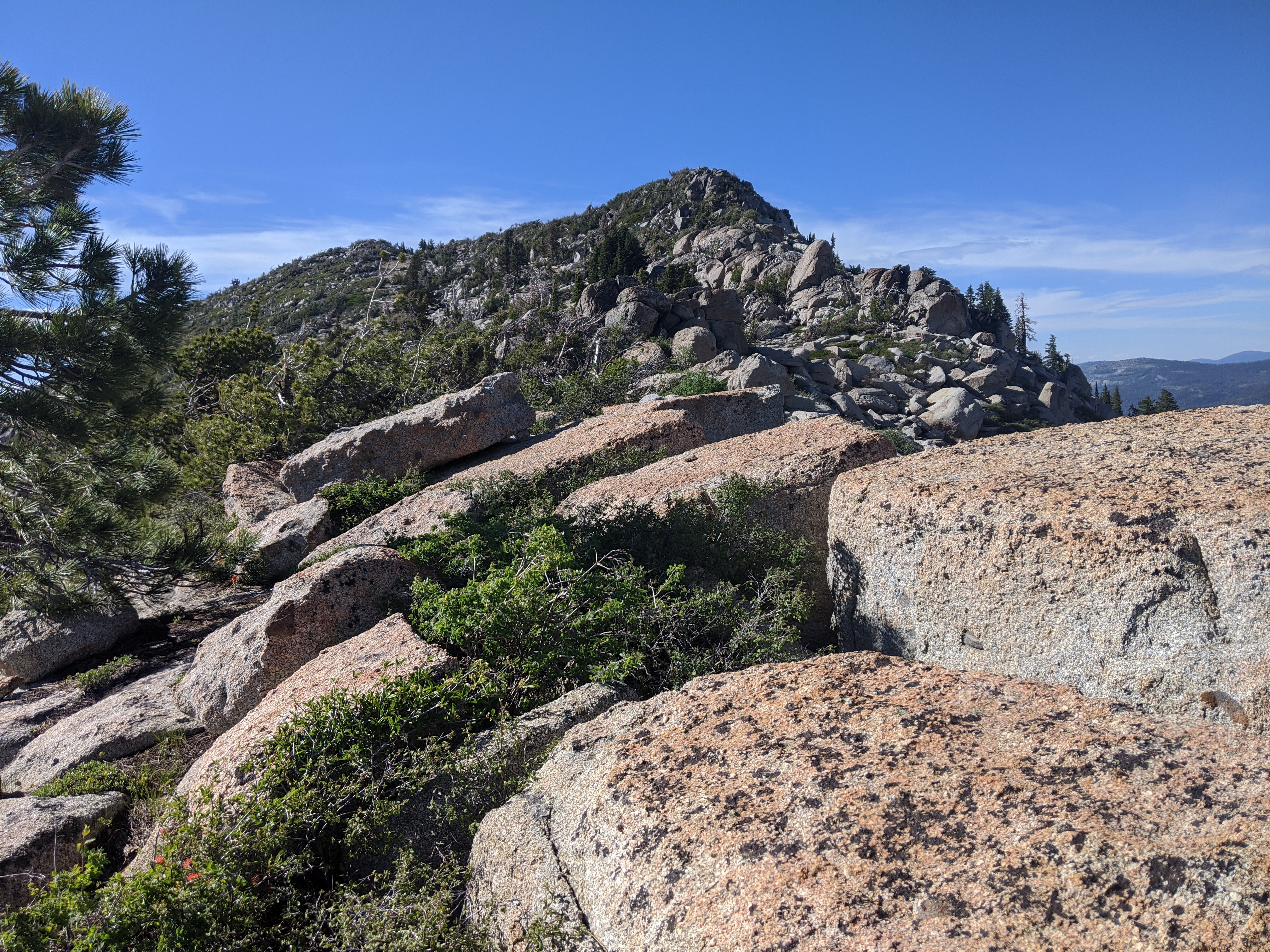 Looking north towards Tell’s Peak
We opted to take the Tell’s Peak trail back down to Forni, which was hard to follow but had enough cairns to make it manageable. By 6 we were back at Forni. We made great time from here on, quickly walking down the well beaten trail that we were thankful to be on. Right around the Desolation boundary, the mosquitoes started to get bad. This motivated us to walk faster, and as we descended they got even worse. We ended up continuing to power walk all the way to the cars and were done with our ~17 mile out and back by 7:45. With the amount of mosquitoes out, and being at the cars we elected to call it a day trip. My Dad and I quickly said goodbye to Jed as we fought off hoards of mosquitoes, hopped in the car and headed off.
The goal was to see how we fared doing 15 miles with full packs, expecting a small section of cross country travel between the Crystal Range ridge and Highland Lake. However past the ridge it was more or less all cross country. We exceeded our mileage, and in conditions far worse than what could be found anywhere on the PCT. Mission accomplished.