OGUL #36 and 37 - Genoa Peak and Duane Bliss Peak
July 5th, 2023
Chris returned home on the 5th, so it was down to just Jed and myself for the next leg of the journey. Jed was planning to head home after this one, and I was planning to stay out a few more nights. Wanting to get another double summit day, we decided on Genoa and Duane Bliss Peaks. They aren’t nearly as exciting as the other peaks we had done recently, but it would also allow us to knock out one of our last remaining sections of the TRT. Jed and I met at Spooner summit, and we got into his car to drive to the Daggett Trailhead.
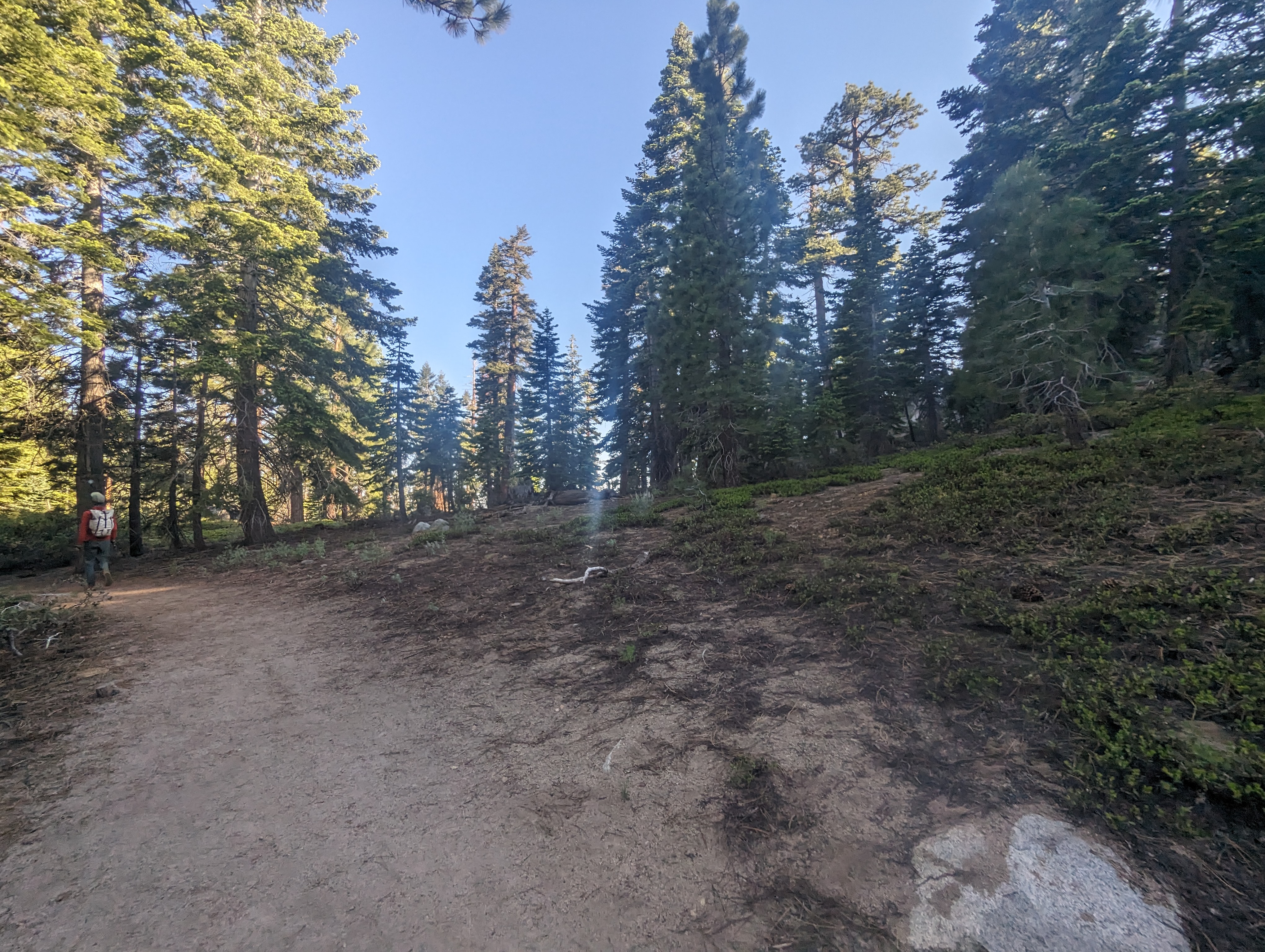
We left the Daggett trailhead somewhere around 7:30AM, and enjoyed a nice easy walk in the shade to get started. This section of the TRT is known for being pretty hot and dry, so I was glad to be doing it in a high snow year. The first few miles were relatively uneventful. Jed took the lead, and I plodded along at a somewhat leisurely pace, trying to save my legs for a few more days of this. The trail was mostly forested, with occasional views of the lake.
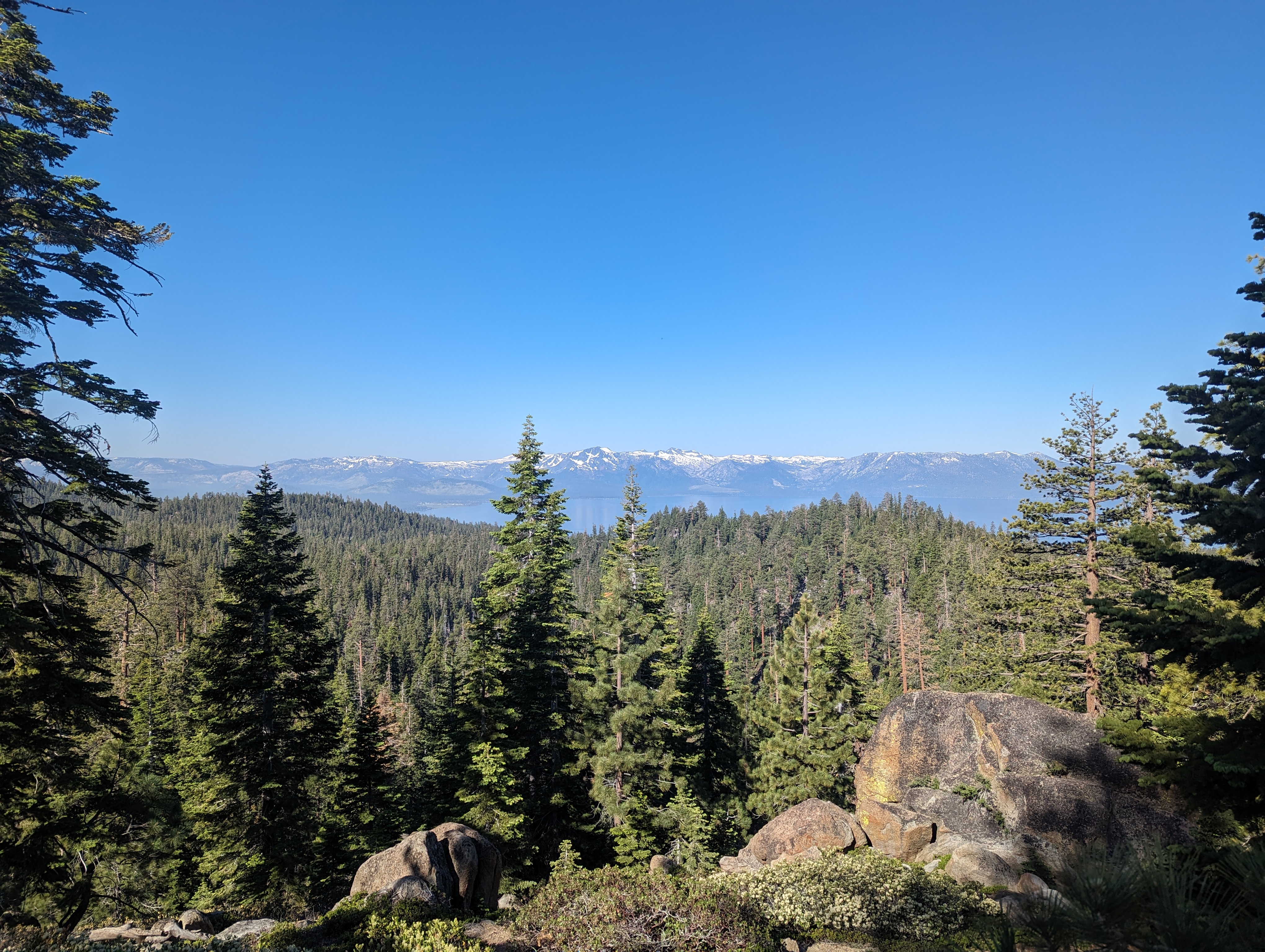
 Lake Tahoe and Mt Tallac in the distance
After a few miles, we cut off the trail onto a dirt road towards Genoa Peak. We followed the road, which went all the way to the summit of Genoa. The road was mostly in the sun, making for a pretty hot climb. Before too long though, we came to the top of the road, just below the summit. There was a generator here, which must be used to power the communication tower on top. The noise of the generator really seemed to take some of the ambiance away from the peak. We climbed a trail up the last little bit, and made it to the top.
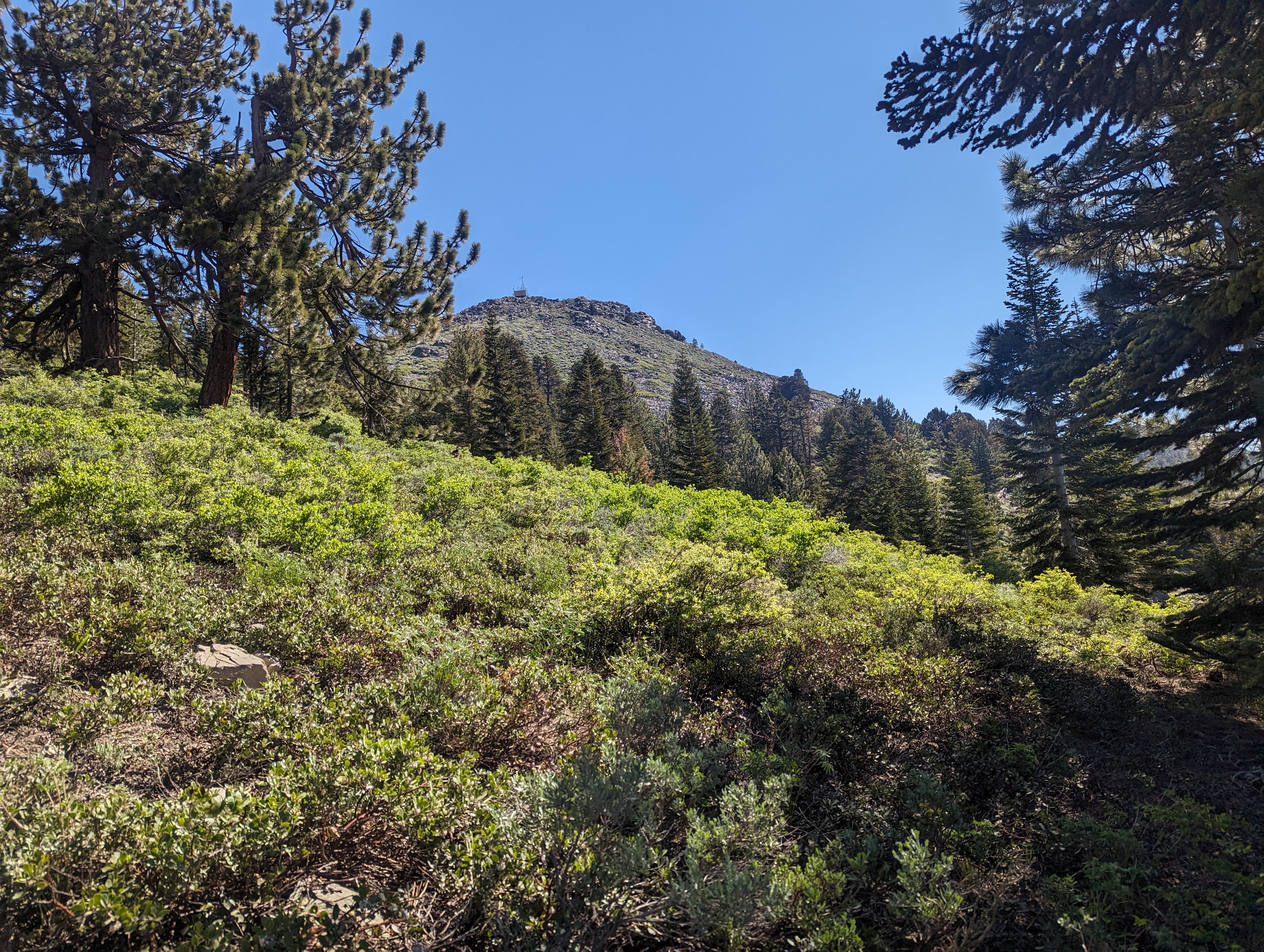
 About mid way up the push to the summit
The top of the mountain is dominated by the communication tower, and whoever maintains the tower leaves a huge mess. There was construction debris all over the place, and it was impossible to get a good panorama with the giant tower in the way. Neither of us could find a register anywhere. We didn’t hang out for too long before heading down.
Back on the road, a family in 2 side by side UTVs had come up. We said hello, and continued down the road, heading back towards the TRT. This cut off a small section of the trail, but I say it still counts if you’re climbing higher than the trail itself. We made it back to the trail shortly. Not long after, we started to encounter some deep snow. It was firm and easy to walk on, but difficult to find the trail. I pulled my phone out a few times and used CalTopo to get us back on track. After the snow had dissipated, I stopped and talked to a lady and her husband who were doing the TRT endurance run in a few weeks. They were from Fresno, so I gave them what info I could on the trail.
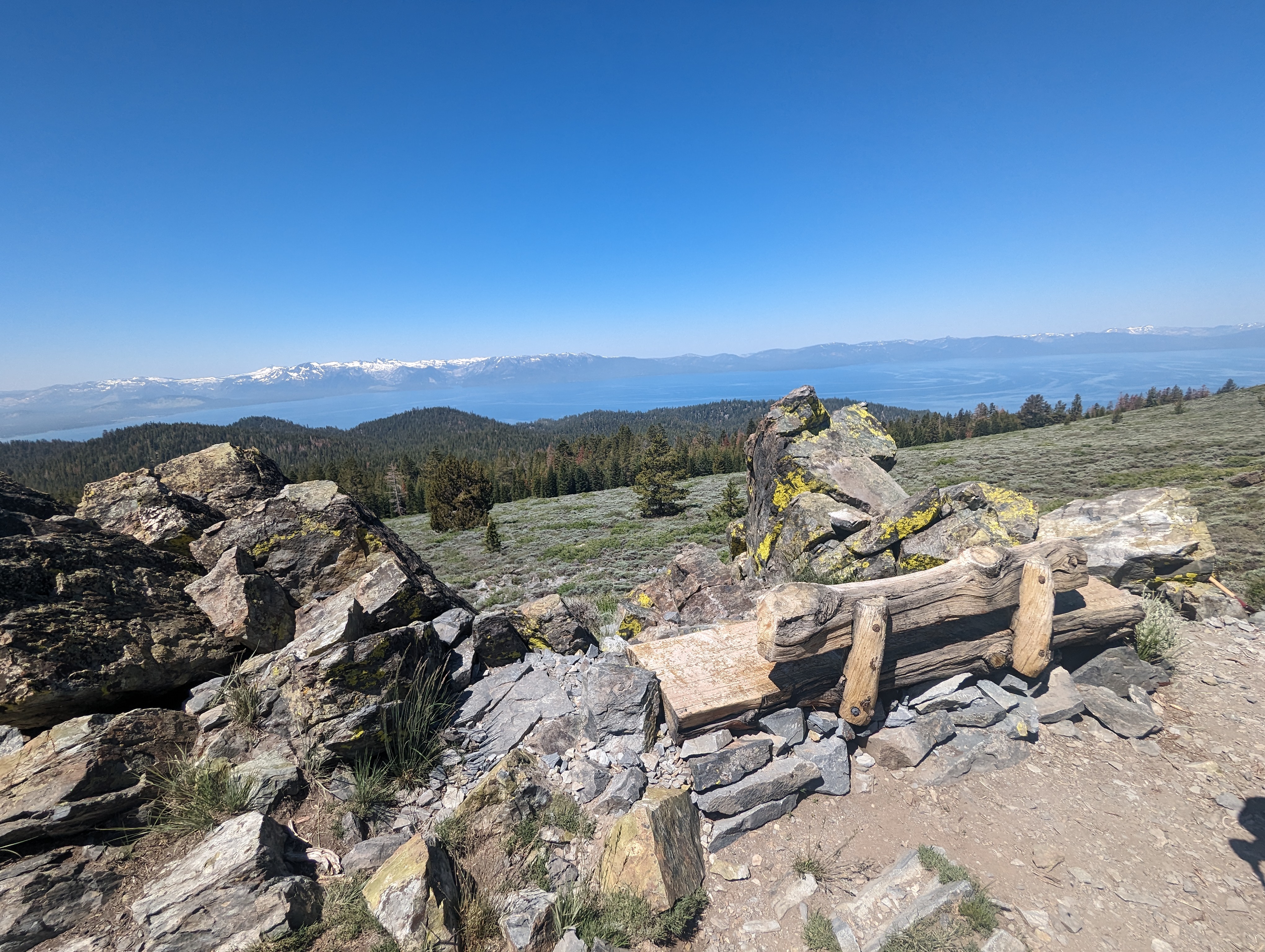
We continued on for another few miles, before cutting off onto another dirt road towards Duane Bliss Peak.We then turned onto a trail, which ended up going in the wrong direction. We decided to just bushwack our way over rather than double back, and soon were at a small pond at the base of the climb. The climb was hot and steep, but like Genoa, was over quickly. I found this summit to be a lot more enjoyable than the previous. We found a register here, and stopped to eat lunch.
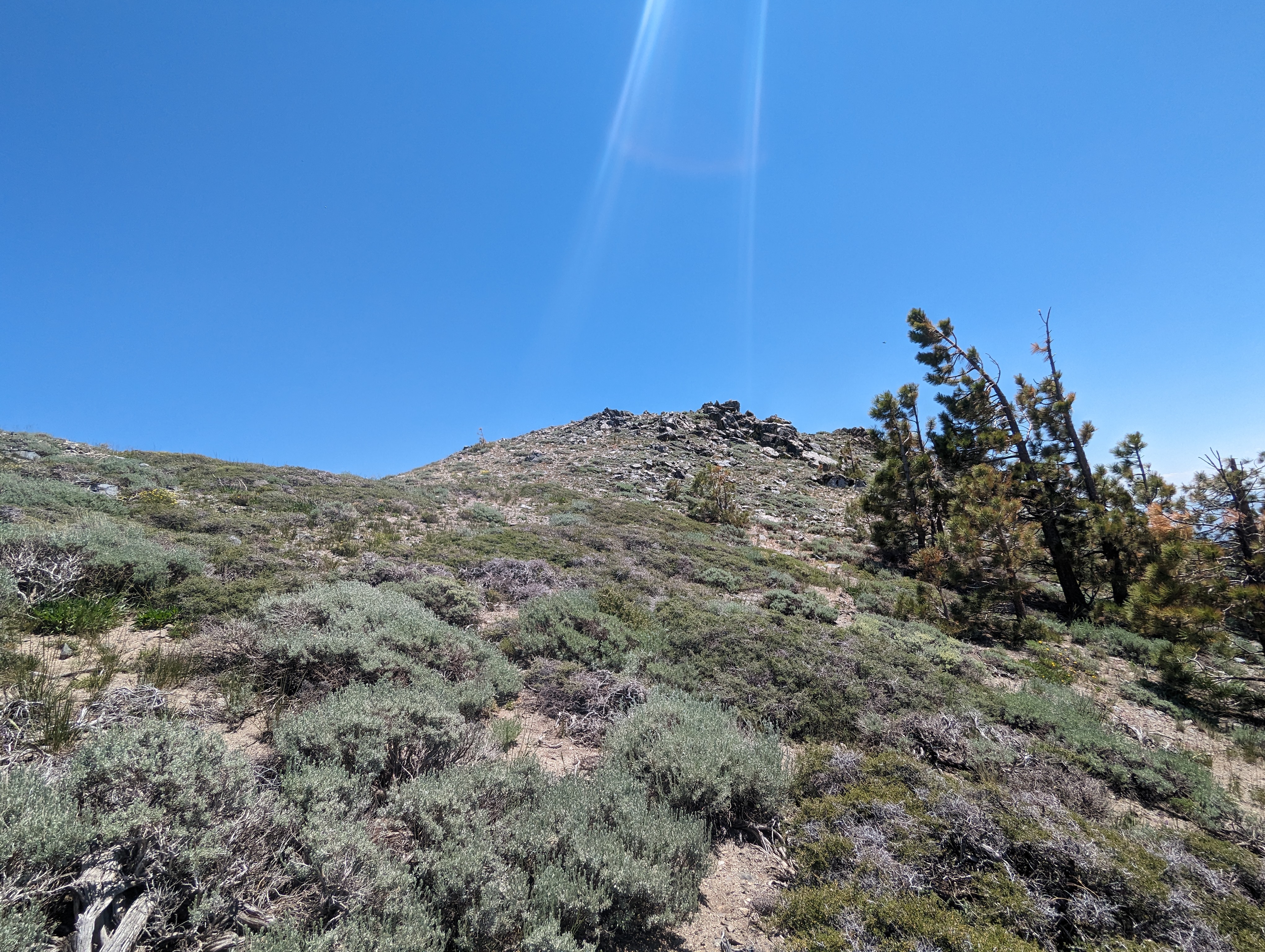
 Nearing the summit of Duane Bliss Peak

 Duane Bliss Peak summit panorama
After eating and reapplying our sunscreen, it was time to get back on the trail. That sunscreen must have ended up on my camera lens, because just about every picture I took after that has a bit of a sunscreen filter. There aren’t any trails on the mountain that I’m aware of, so we tried our best to cut directly down towards the TRT. This worked pretty well, and after a bit of light bushwhacking, we were on track.
From here, it was only a few easy miles back to the truck. We managed to crank them out pretty quickly, and before I knew it, we were back at the trailhead. The guy in the van who had been sleeping when we left was now sitting in a chair reading a book. Kind of a strange place to camp (right by highway 50), but more power to him. We loaded up in the truck, and made the drive back to the Daggett Loop Trailhead. Jed and I said goodbye, and went our separate ways. I stopped in Gardnerville to get some supplies, and ended up heading back to Blue Lakes road for the night.
