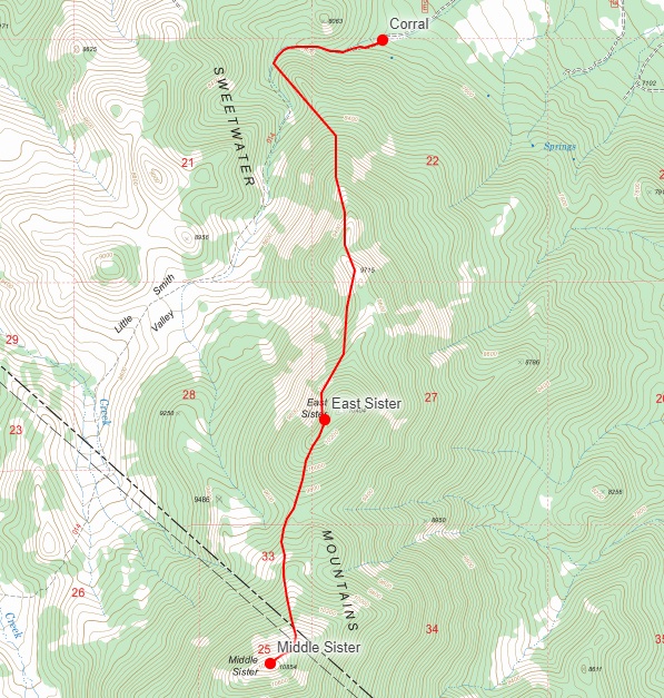
OGUL #26 and #27 - East and Middle Sister
May 27th, 2023
I took off work a few hours early at 3PM Friday, and already had mostly loaded my truck up for 3 days of camping. I had a few odds and ends to handle after, but was on the road by 3:30PM or so. I stopped to get gas and a few road snacks in Placerville, and was soon headed up highway 50. Somewhere shortly before Kyburz, it started to rain pretty hard. I stopped at the Silverfork store and moved a few things from my truck bed that weren’t waterproof into the cab. I made a quick stop in Gardnerville for some Jack in the Box Tacos, and then headed down 395.
Shortly before Topaz Lake, I took a left onto highway 208 for the first time, having continued south every other time I’ve driven by. The rain was still coming down here, but not nearly as hard, it was more of a sprinkle. Before I knew it, 208 turned into 338 and I was heading south. Highway 338 reminded me a lot of 395 to the west, just with slightly different scenery. The mountains of Nevada were drying out, but most were still capped with some snow. Not long after I made it to Risue Road, which led to my campsite. Risue Road is pretty nice for a dirt forest service road, but there were a few mud crossings in the first half mile or so that I wouldn’t have wanted to try in a passenger car.
I followed Risue road for a few miles, and soon opened my CalTopo app to get an idea of where the side road I wanted to take was. I turned onto the side road, and was greeted with some pretty thick brush on either side of the road that added some nice pinstripes to my truck. It kind of makes me cringe, but I didn’t get my truck to look pretty. The road didn’t go on for too long, and I was at the corral I had read about online soon. I had thought based on maps that there was perhaps a possibility of going further than the corral, but the road was completely overgrown and perhaps only 3 feet wide beyond there. I parked my truck and set up my tent in a light rain, and took a few minutes to walk around the area to check it out. It had a very cool rustic feel to it. I stayed up long enough to see the sun start to set, and was in bed before 9PM.
 Sunset by the Corral
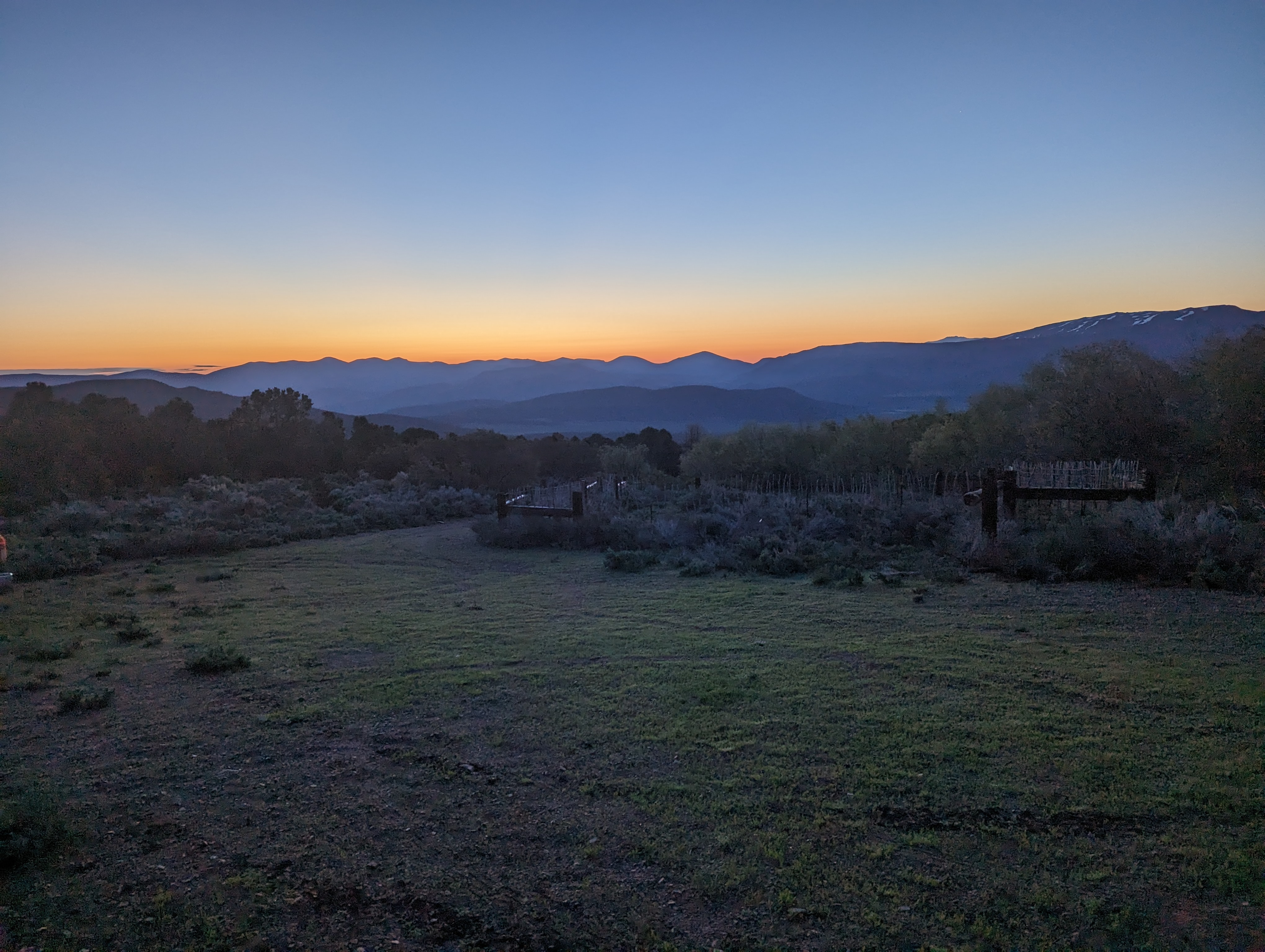
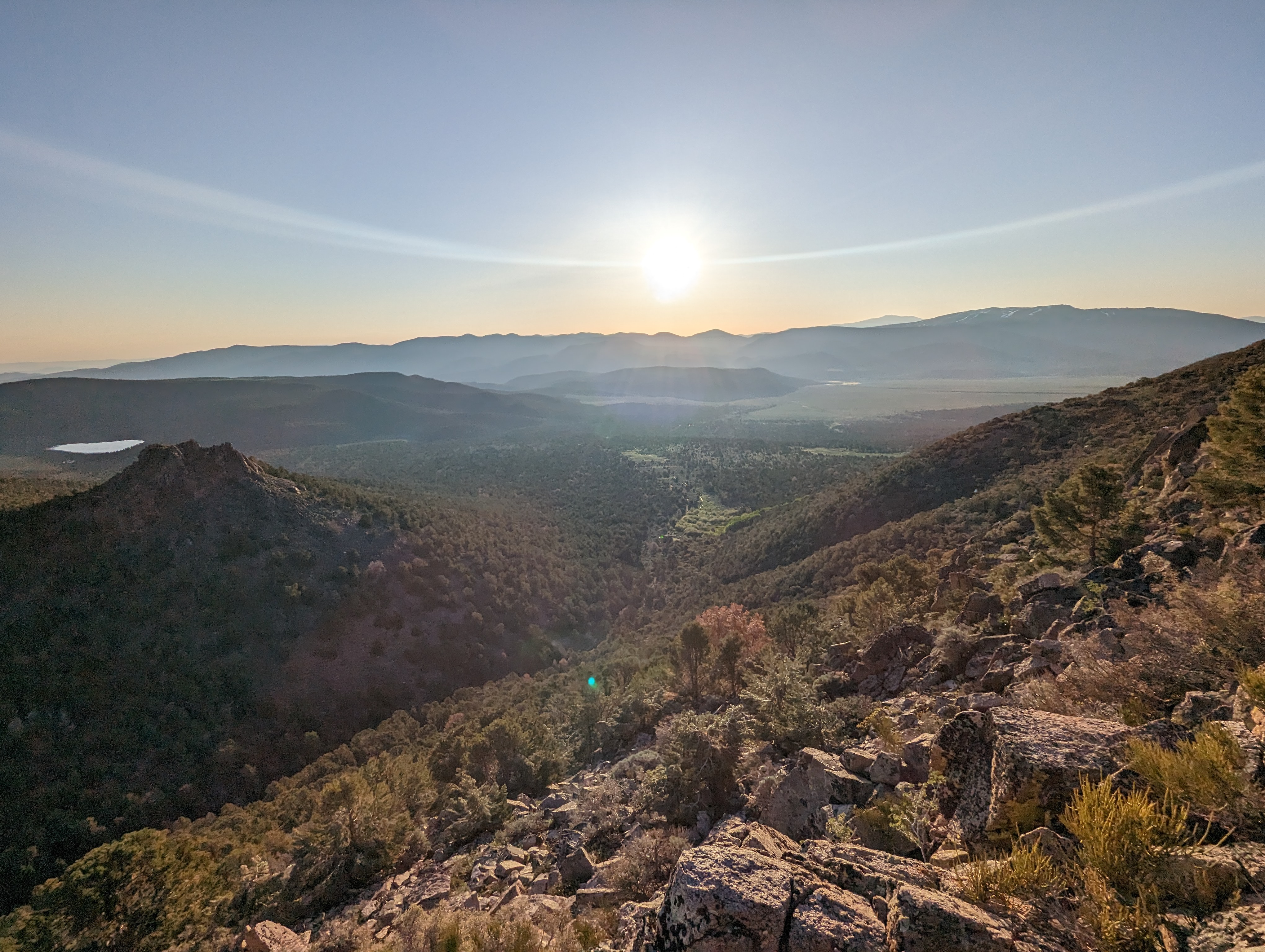
 Sunrise by the Corral
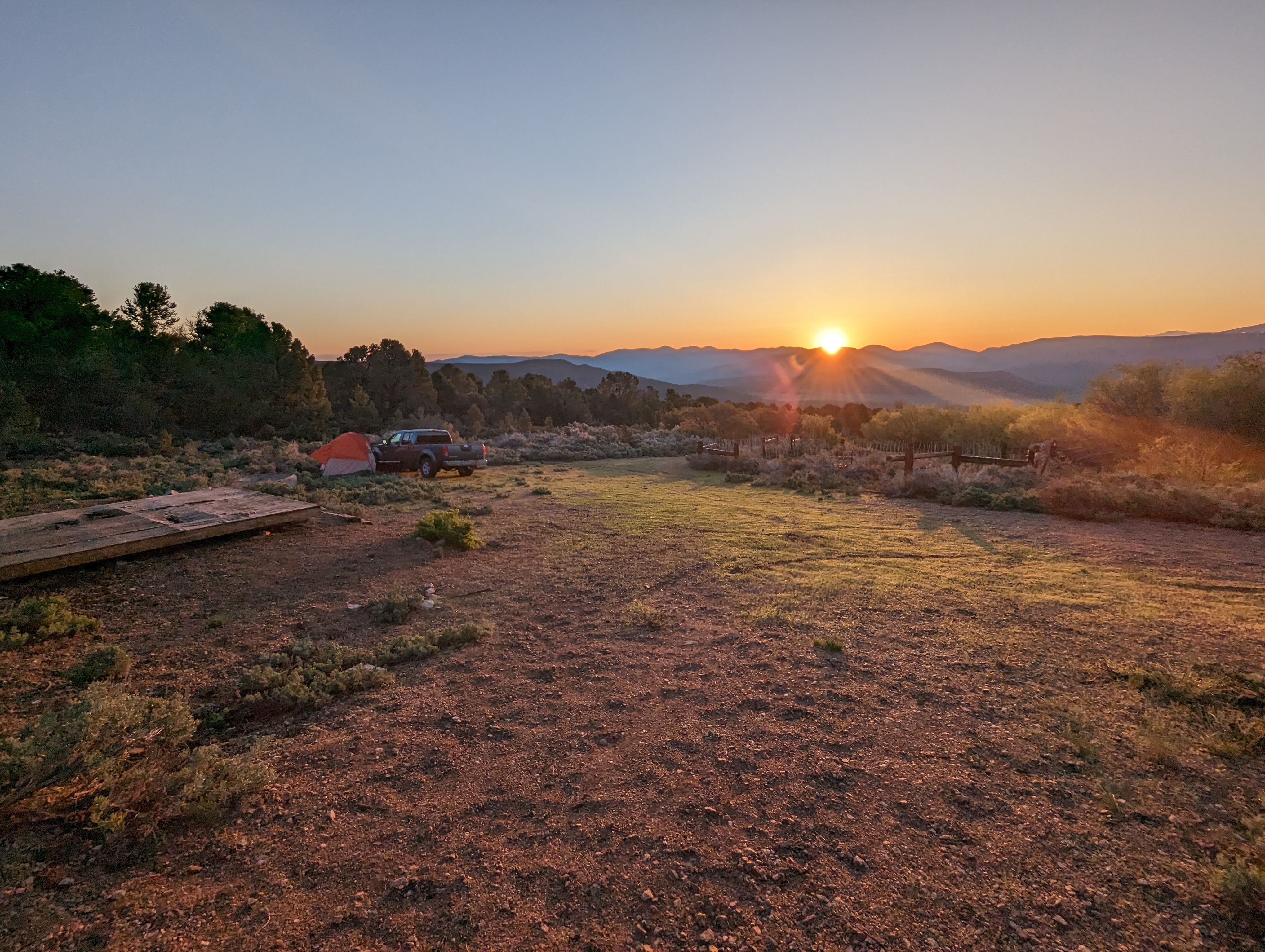
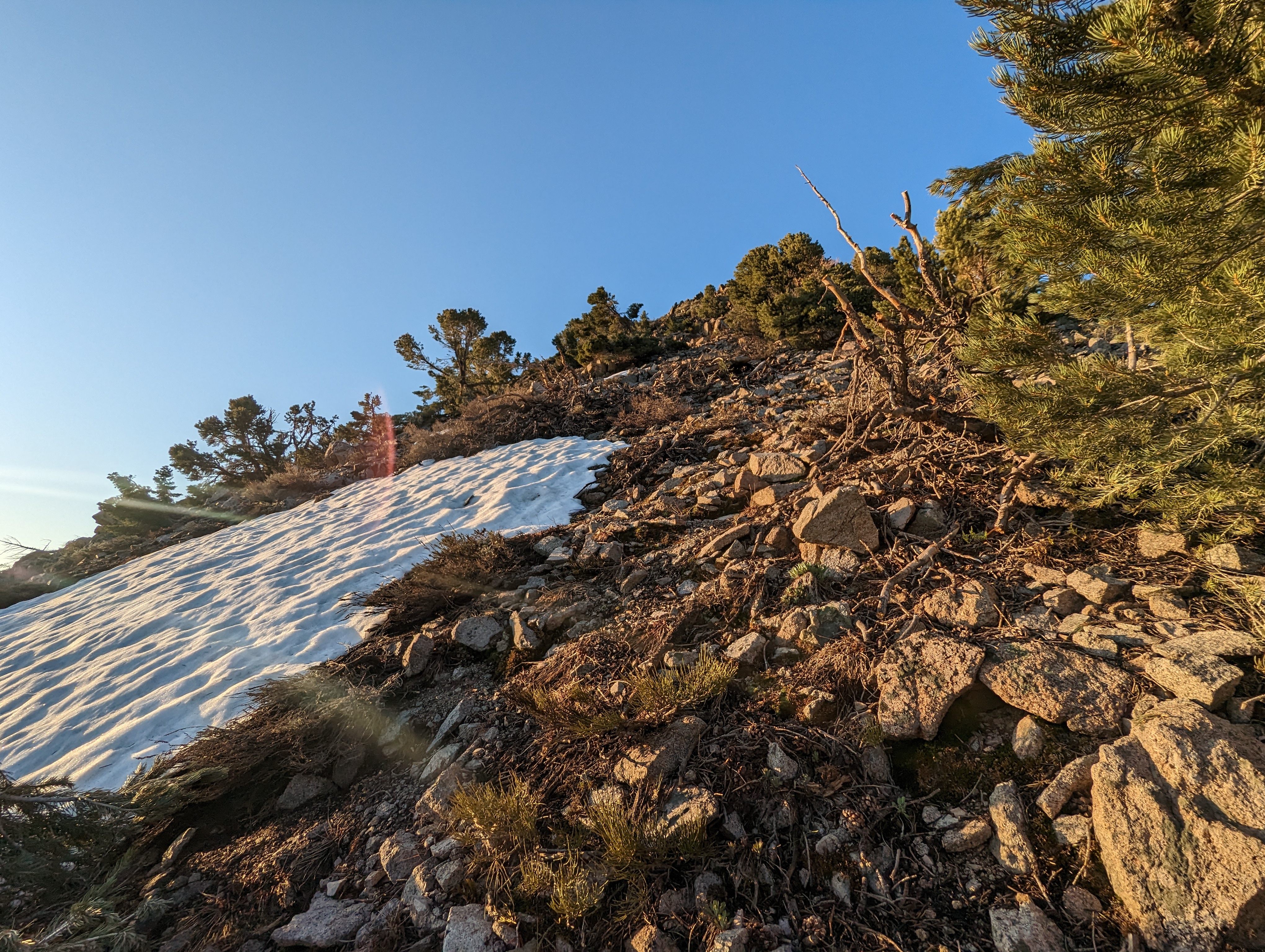
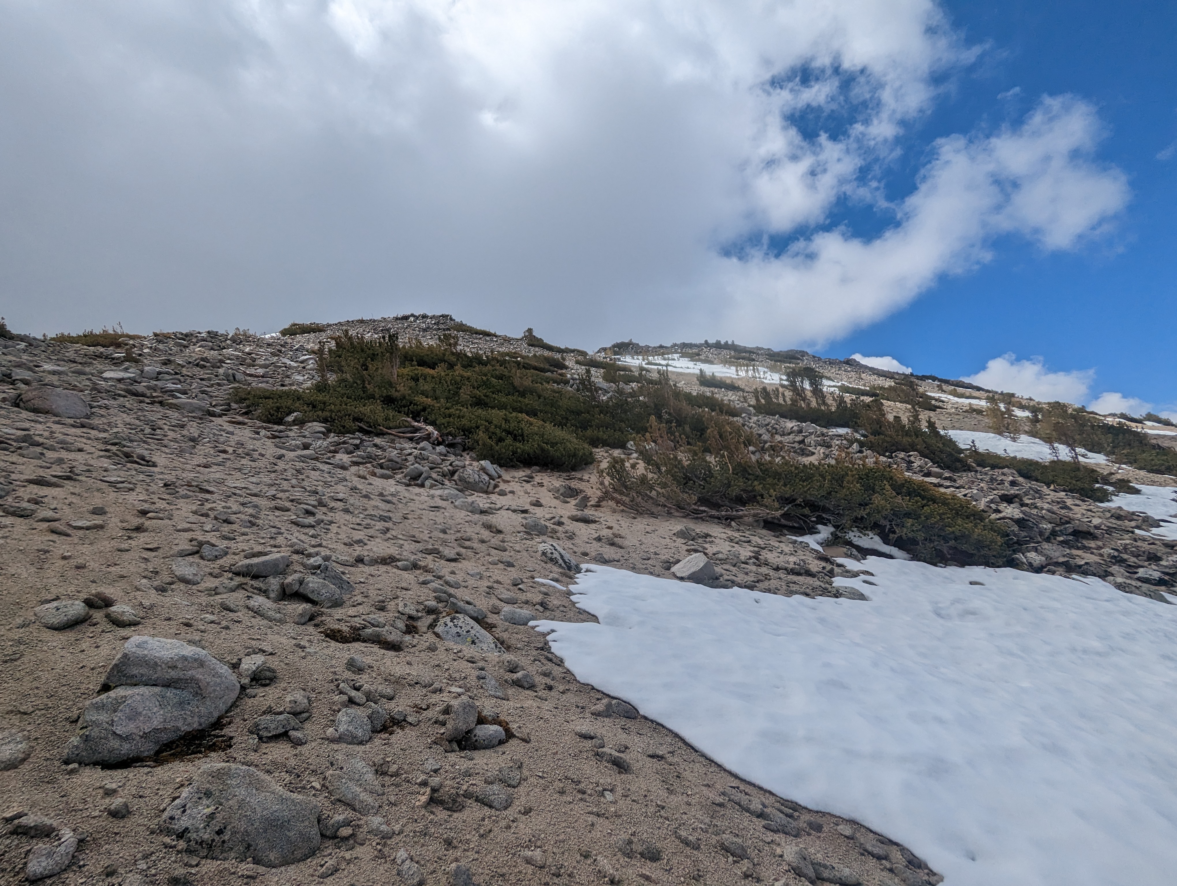
I got up the next morning around 5, and had my stuff packed for the day and was ready to go by 5:45. The sunrise over the valley was pretty spectacular. I set off up the road, and it opened up more after a few hundred feet. Not that it would have mattered, the ruts were deeper than I’d want to risk in my stock Frontier. I walked perhaps a half mile up the road before deciding to cut straight up to the ridge. This was fairly steep, but not too difficult.
 The brief section of road I walked
 The start of the ridge
 Looking back towards my campsite
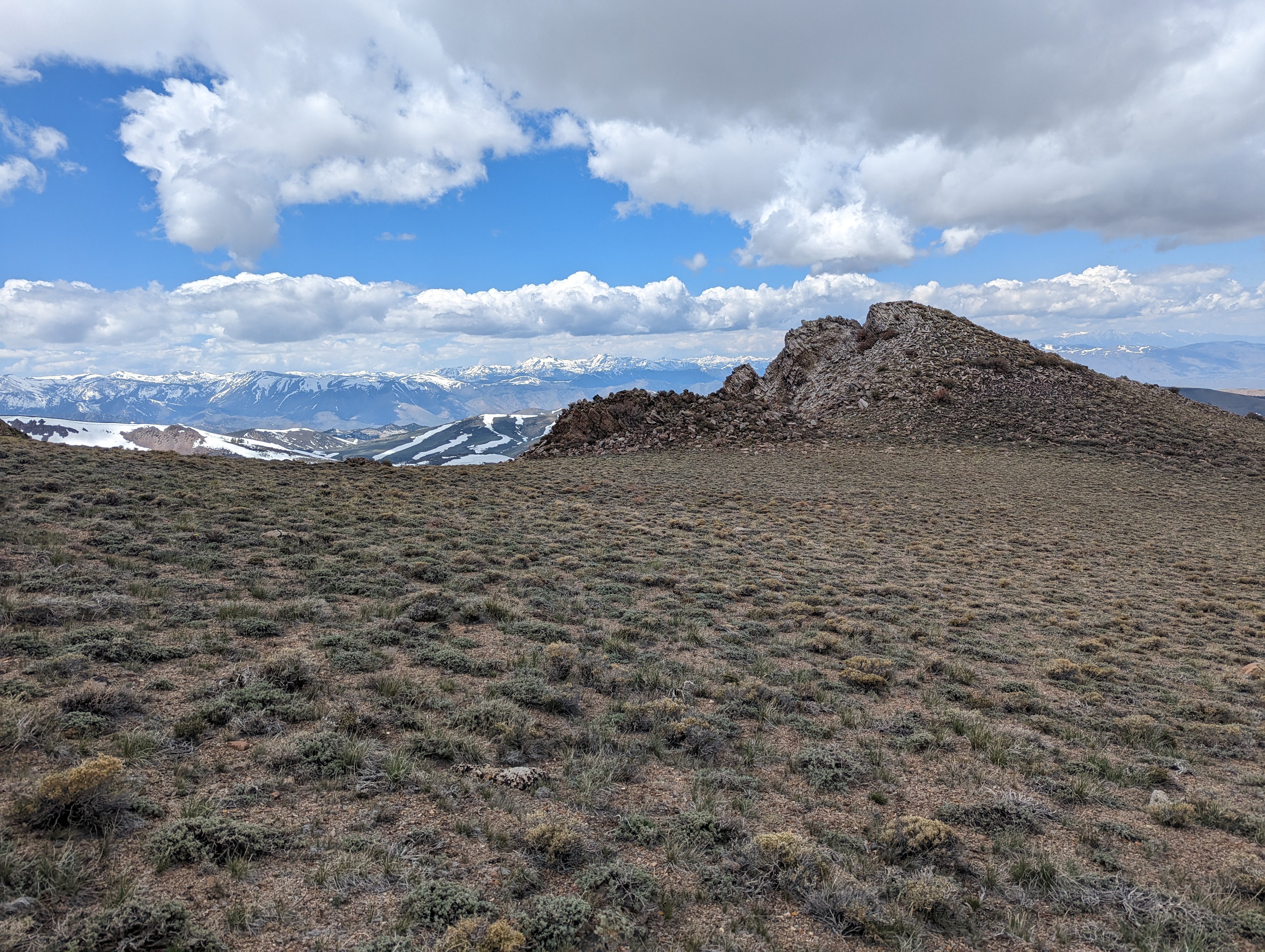
After 20 minutes or so, I made it to the first bench on the ridge where I could see the mountain above me better. It seemed like I could see the summit, and that it wasn’t all that far away. I was wrong, the ridge ended up having quite a few false summits. I made it to the the top of this one around 7:30, sticking to the west side to stay out of the snow. I was greeted with a higher point I’d need to go around or over that still wasn’t the summit.
 The view up towards the false summit
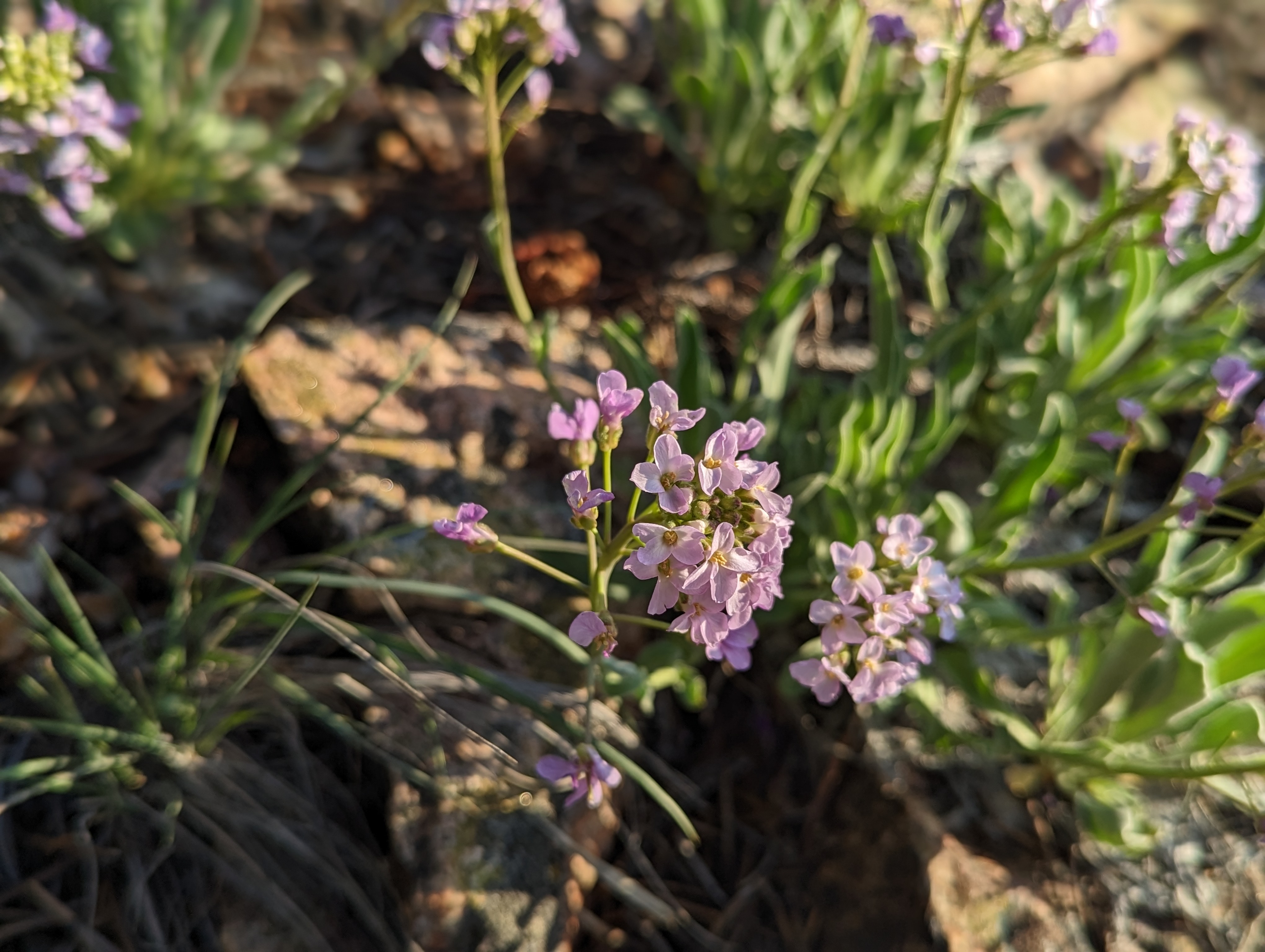 Some wildflowers I saw around 9000 feet on the ridge
I opted to go around it the best it could staying to the west to avoid a large snowfield. From there, the ridge veered to the east, but I could see that it just dropped back down and continued along towards the true summit. I decided to try to maintain my current elevation and stick to the west side. This involved a bit of scrambling, and some loose talus in places, but seemed to save me some effort in the long run. On the still shady west side, the rain from the previous night seemed to have frozen, which made the granite slick, and definitely slowed me down a bit. Thankfully my patience paid off, and I didn’t end up slipping and getting injured.
I soon came to the final section of the ridge up to the true summit, and had to make a choice about how to get around the snowfield with minimal contact with it. I had my ice axe and crampons with me just in case, but didn’t feel like using them. I managed to find the thinnest section of the snowfield, and carefully crossed it to the west. Much care was needed here, I had to gingerly kick each step, sometimes using my poles to help carve out a place for my foot. The snow was still surprisingly firm over here as the sun had not yet hit a lot of it. There was a dry patch followed by one more finger of snow to cross. After those, I was a short distance from the summit.
 Looking towards the actual summit
 The patch of snow I had to cross
 The last finger of snow blocking my progress
The rest of the climb from here was easy, just hopping up medium sized granite, and soon I was on top of East Sister. The view was pretty nice, and I made the first entry in the register since June of 2022. Apparently this isn’t a very popular mountain. I spent maybe 10-15 minutes enjoying the view and a small snack before continuing along the ridge towards Middle Sister. I had read that it was a bushwhack on the side I was coming down, but bushwhacks are always easier downhill, so I was glad to have that on my side. I spent a minute or 2 where the rock met the bushes, and decided on a path down.
 Summit Panorama
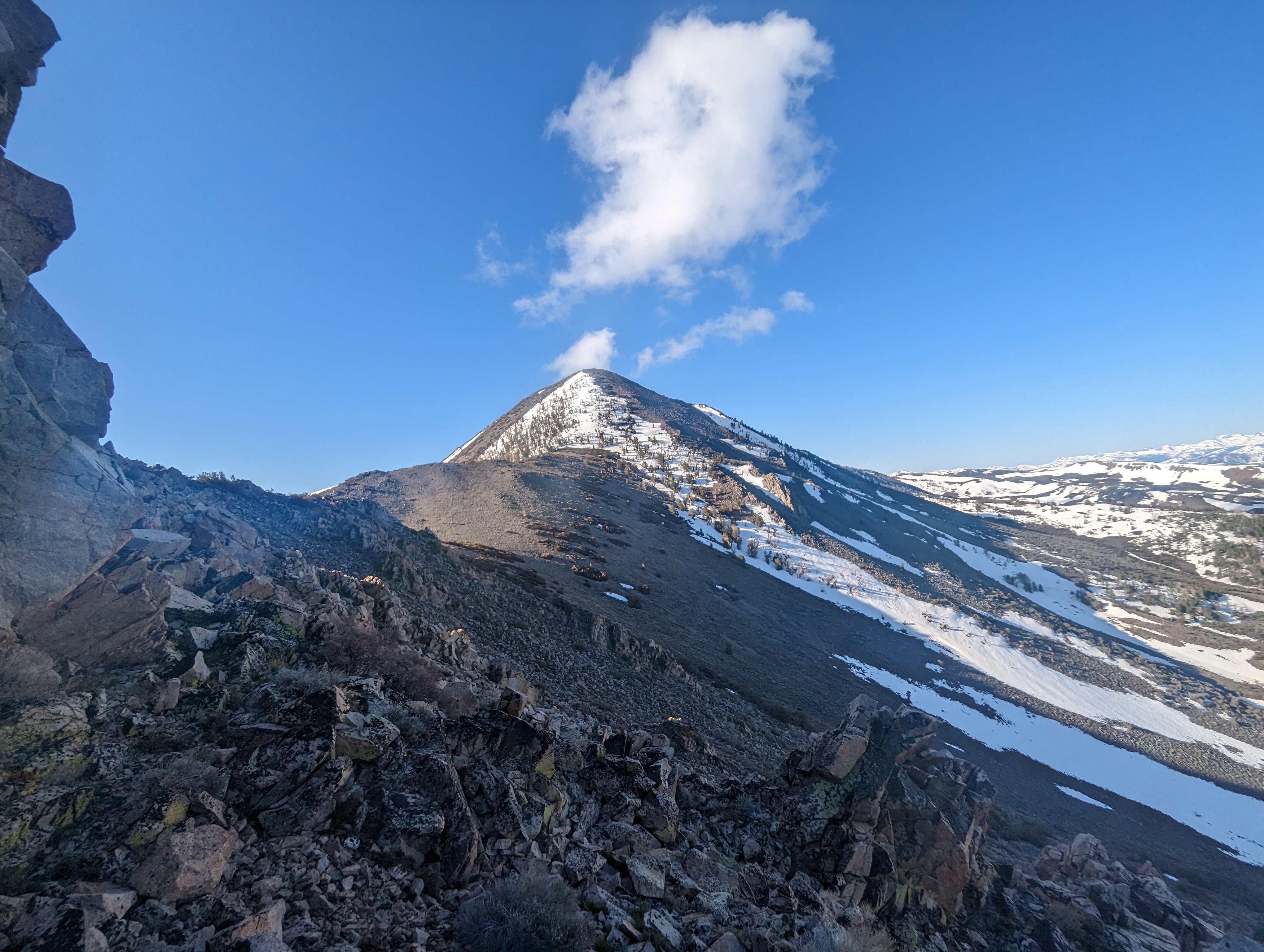
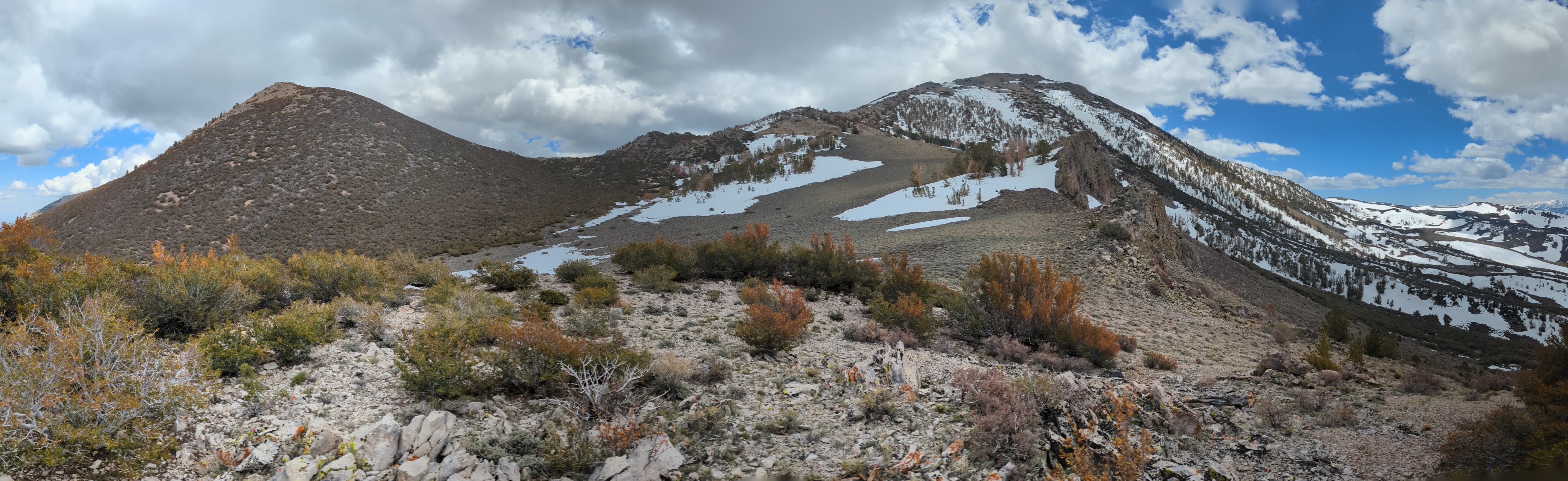
 Looking towards my next objective, Middle Sister
 The bushwhack down East Sister
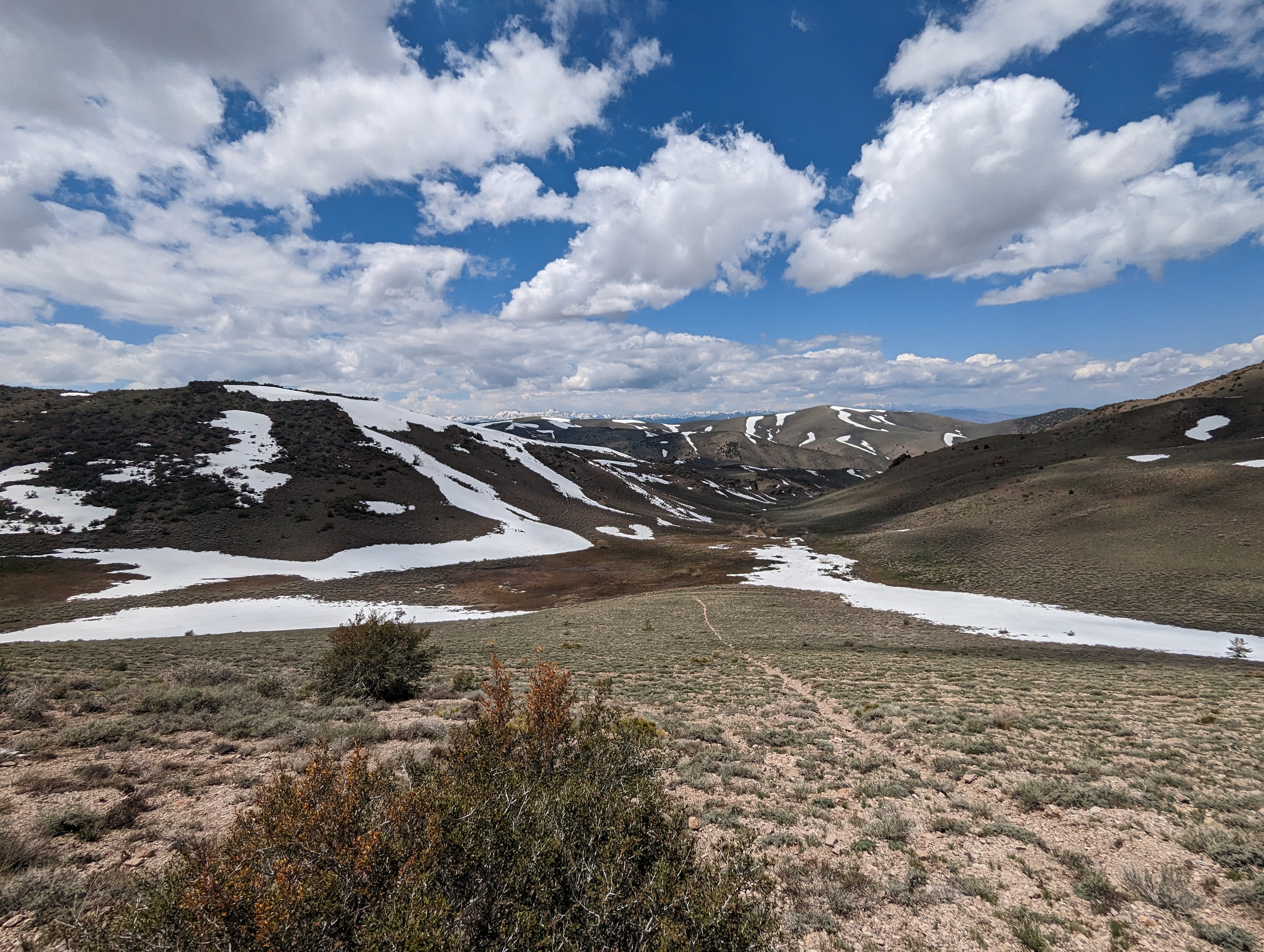
I ended up veering more to the west, finding the best path I could through the thick mountain mahogany. This wasn’t terrible, but wasn’t very glamorous either. The best sections were perhaps 50 feet of clear walking, only to be back at the edge of a thicket, trying to decide the best path forward. Eventually though, I was through it and at the low point between the 2 peaks. Looking back up, there would be more patches of snow to avoid.
 Looking back up the bushwhack I had just come down
I once again stuck to the west side, and was able to see a set of tracks(most likely a coyote or small mountain lion) heading up in about the same direction as me. I picked up the tracks several times over perhaps a quarter mile, eventually seeing them lead off to the east. Soon I came to another high point in the ridge, accompanied by another snow patch I’d have to circumvent. This one had a big weakness in it that I could easily spot. I worked my way up the west side of the ridge, staying a bit lower than the top of it. Just shy of one of the last bumps before the summit, I veered further west to get through the narrowest section of snow. I only ended up needing to take a few steps through snow to avoid this one.
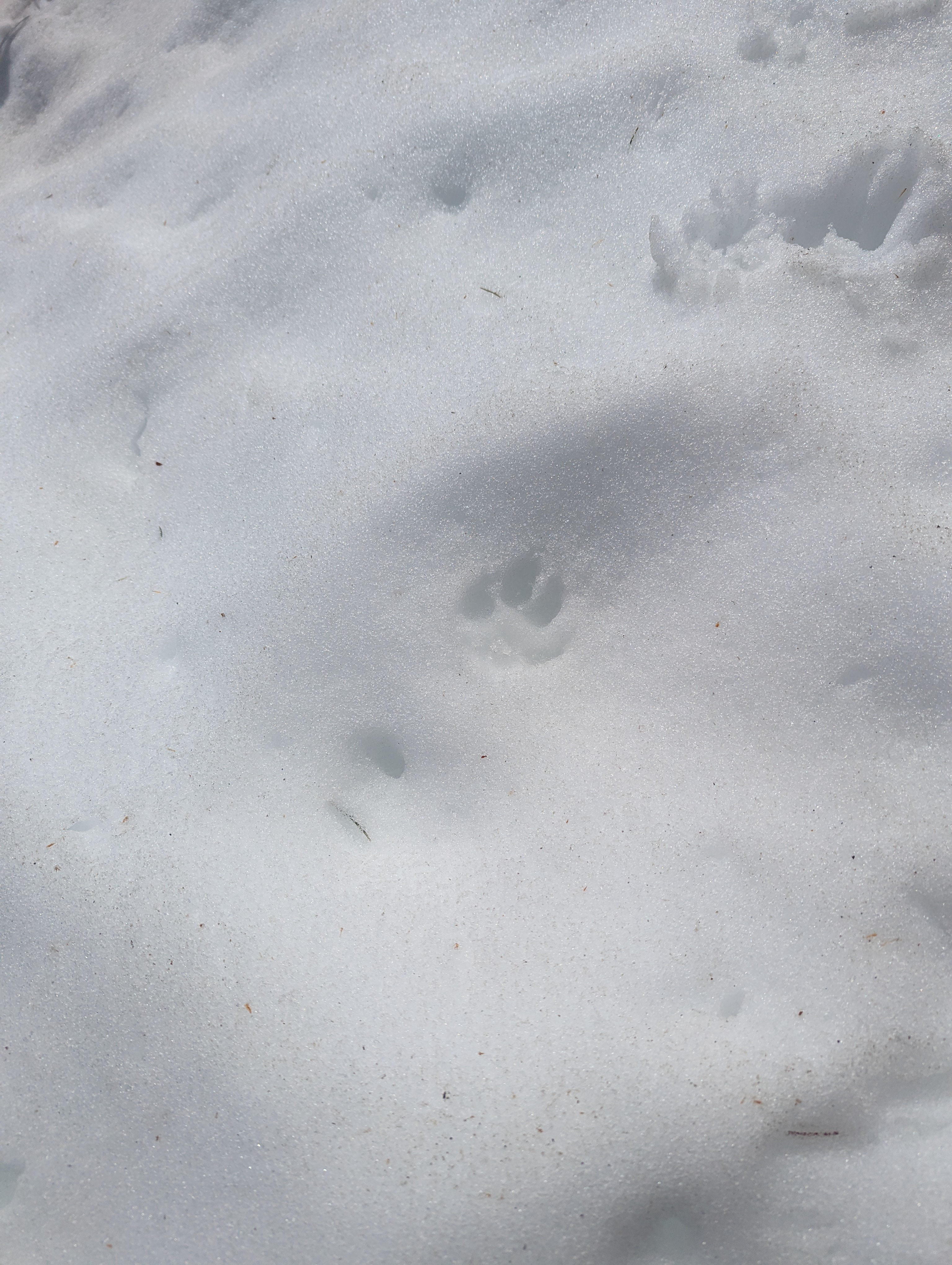 Tracks in the snow
At this point I was about 4 or 5 hundred vertical feet from the summit, and just started going straight up as quickly as I could. Some ominous dark clouds were rolling in from the west, making me a tiny bit worried about thunderstorms. The forecast had looked clear the day before, but I’ve spent enough time on ridges above 10,000 feet to not put much faith in forecasts. With a bit more rock hopping, I was on the summit ridge, and on the summit of Middle Sister in short order.
 The last push up to the summit
I stopped at the top to snap some pictures, and let my wife know I had made it. I was feeling on top of the world, until I opened the register and found a very strange and creepy photo. The photo was of a very dirty bathroom with torn up and stained wallpaper. The bathtub was full of some off white liquid, and a man was in it. Next to the bathtub was an older looking lady. Both of them were staring ominously at the camera, and there was a rope on the ground next to the tub. This seriously creeped me out, and took a minute or 2 to shake the feeling. I signed the register, and put the photo back face down in the box. I also found a small tree spider in the register that was somehow still alive. I let the spider out and tried to think about other things.
 Middle Sister summit Panorama
 South Sister
 Strange photo from the register
After doing my best to clear my mind of the weird ass photo, I relaxed and enjoyed my roast beef sandwich and some chips. I probably hung out for 20-30 minutes before deciding it was time to head down. I took the same route more or less down to the low point between Middle and East Sisters. From here, I decided to drop down west to the dirt road down in the valley. I didn’t want to repeat the bushwhack up East Sister, and the valley looked like a nice place to walk back. I dropped down off the ridge here, heading southwest.
 Looking down to the valley with the road
I had scoped out the route with the least bushwhacking down there, and did pretty well. The worst of the brush I had to go through was just low sage n o higher than my knees. I aimed for a small volcanic knob where I would have to decide between a snow field (and saving some elevation), and dropping down a few hundred feet to connect with the road sooner. I chose to drop down, and wrapped around the volcanic knob. As I wrapped around, I kept seeing snow on the road, so I decided to just remain uphill. This continued until I reached what looked like the last few patches of snow on the road.
 Near the low point between East and Middle Sisters
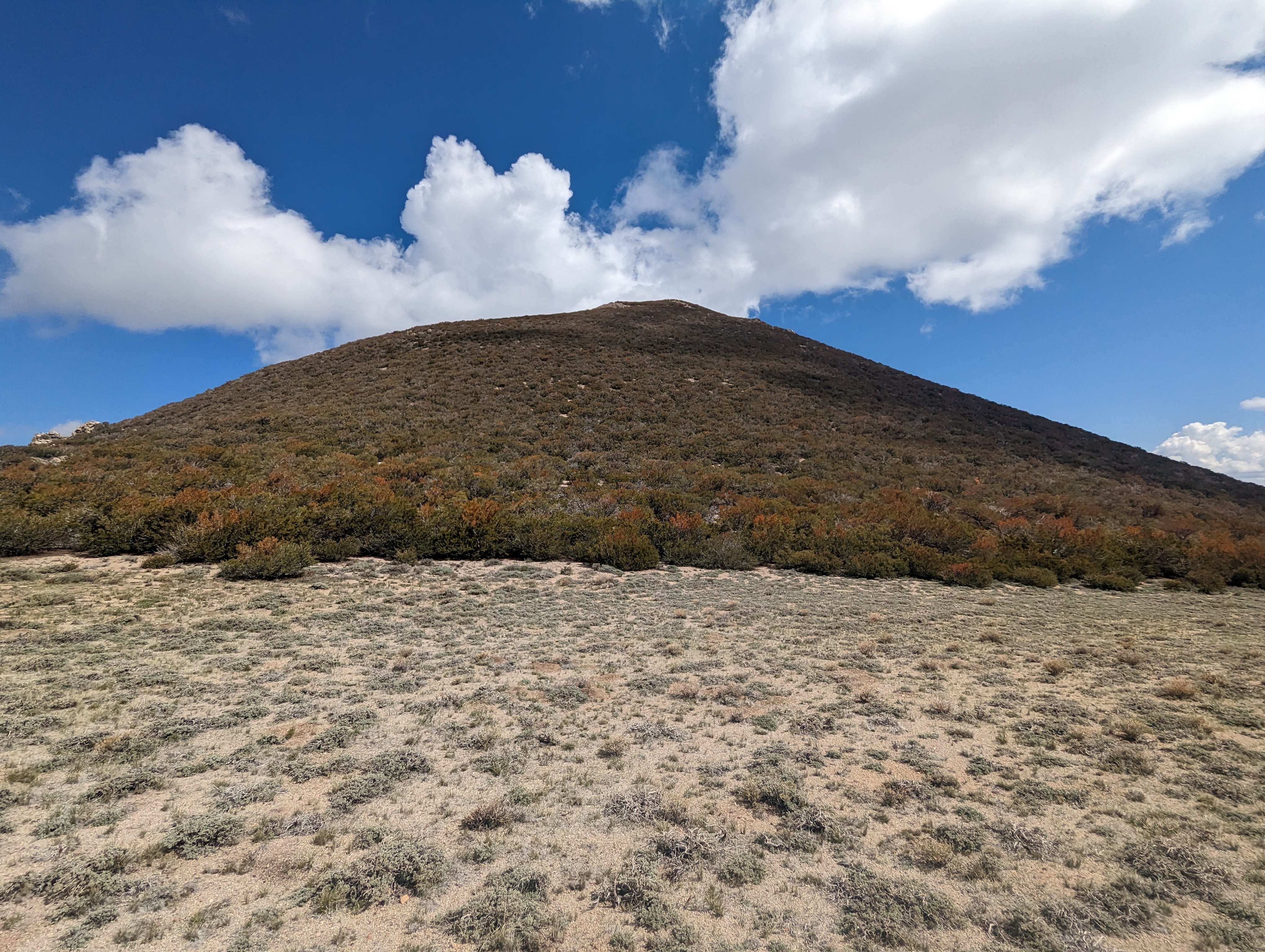
 A little volcanic knob below the ridge
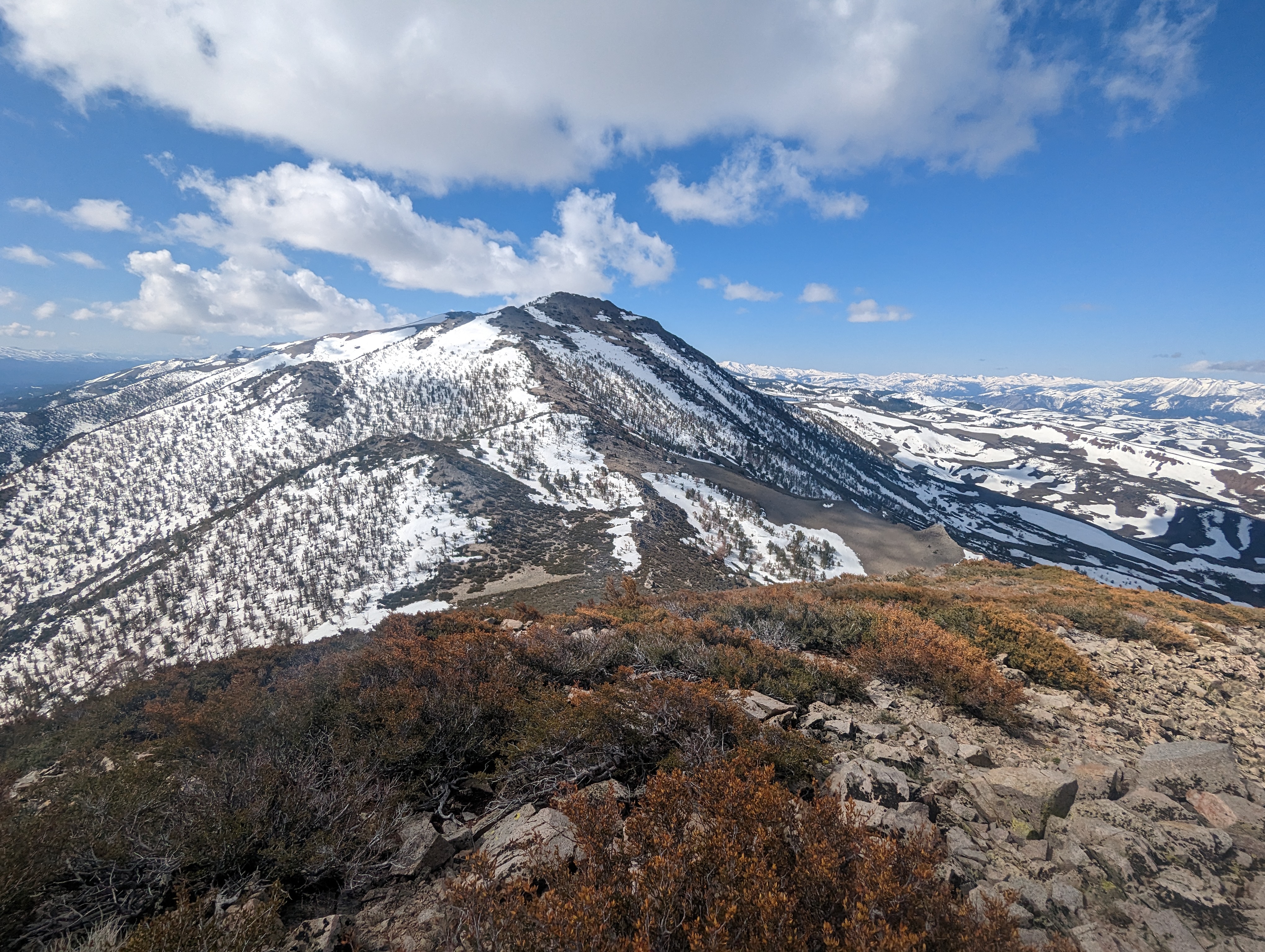
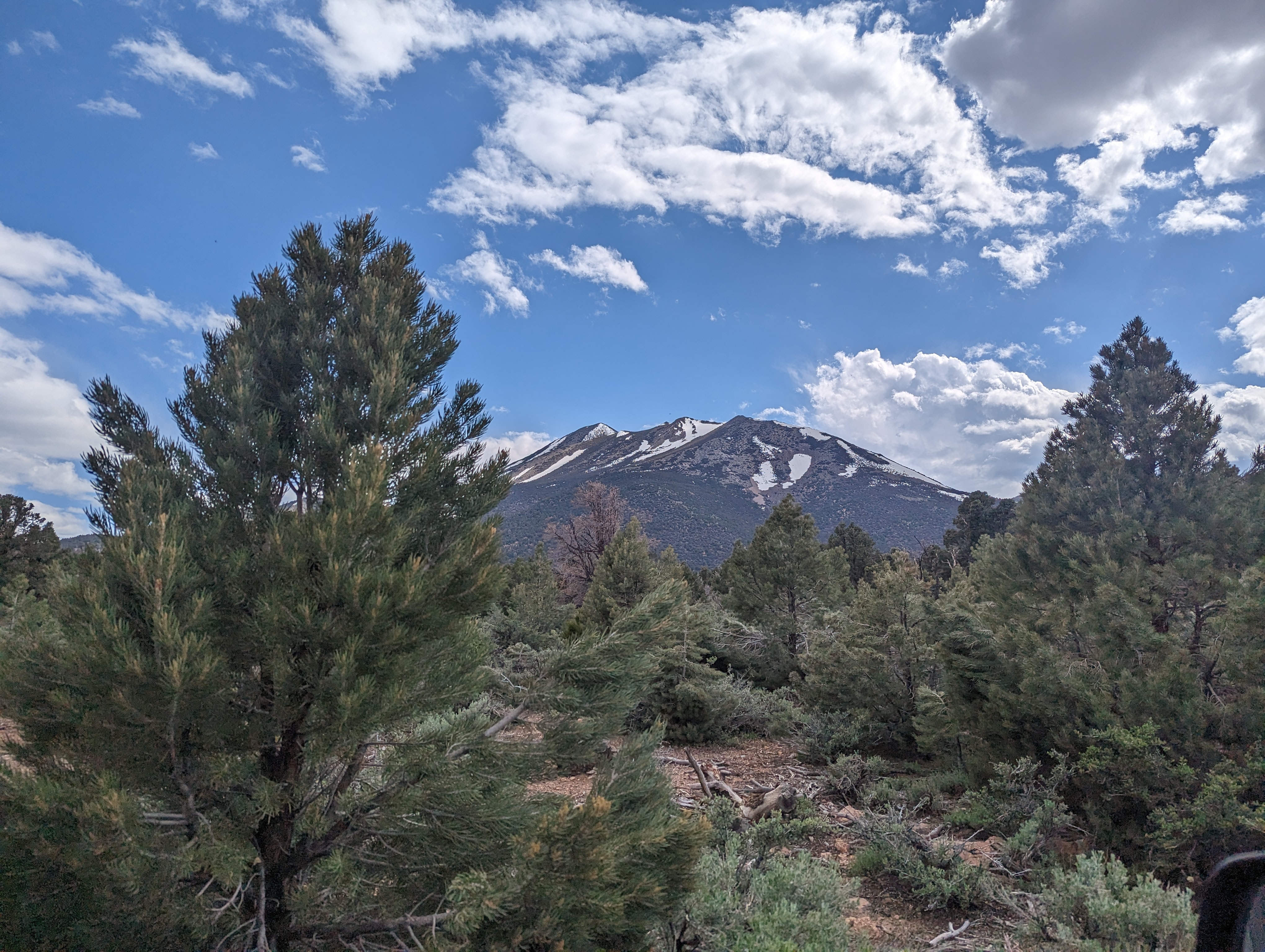
 East and Middle Sisters
 A use trail leading straight down to the road, I didn’t end up taking this
The last major snow was a very large drift at the top of a hill that split east from west. I did some small glissading down this to finally make it down to the road. The drift was probably 15 feet high at its tallest point. This was a few thousand feet lower than the mountains I had just climbed, but by far the deepest snow I’d seen all day. The road was more or less a creek for a few hundred yards, so I walked alongside it just out of the reach of the water.The road dried out quickly, and I was soon enjoying the easiest miles of the day. It cut through the valley below East Sister, and I could see about where I had started from. In hindsight, taking the road up a bit higher may have been an easier ascent.
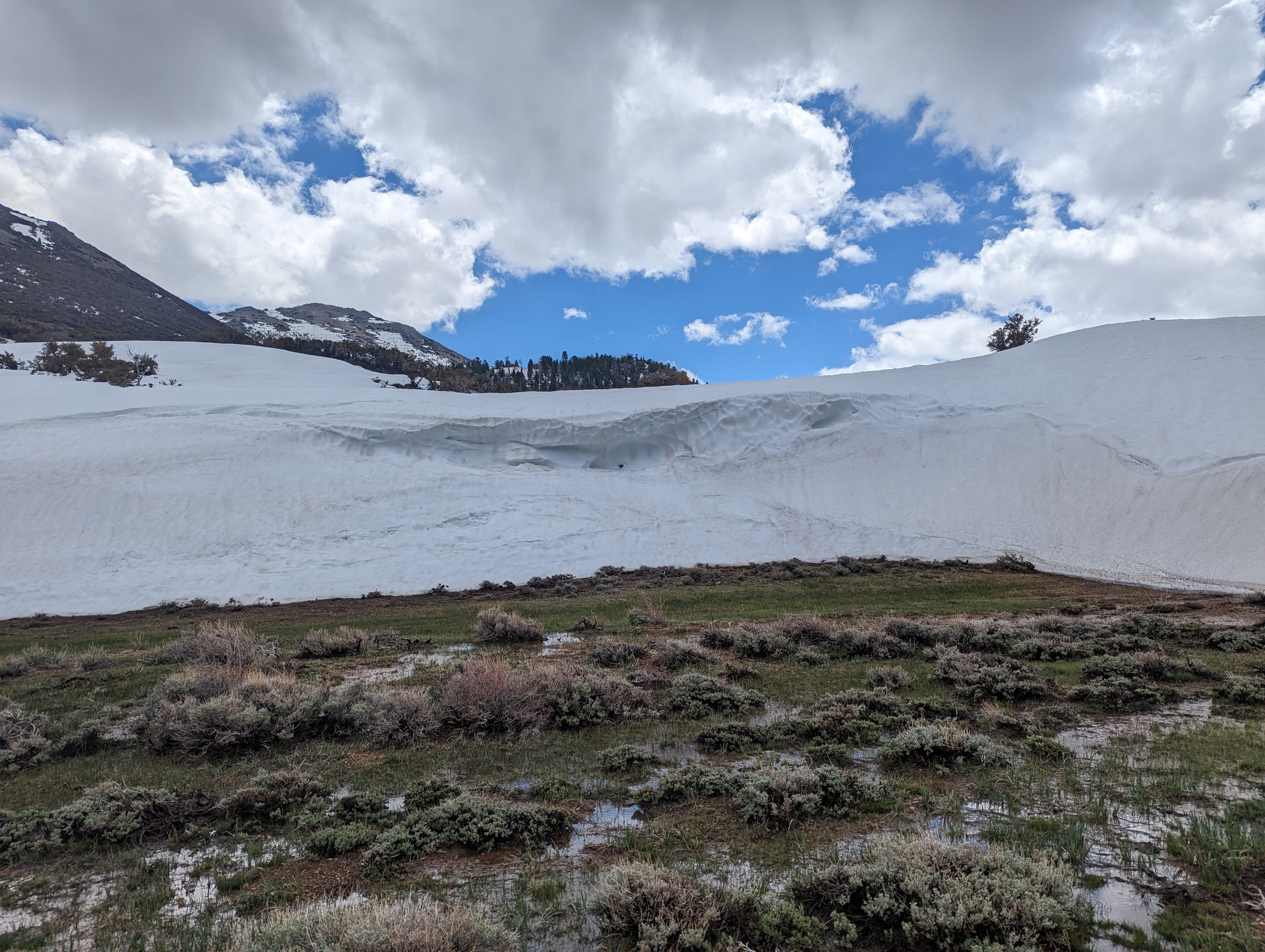 The towering snowdrift
The road quickly turned pretty rocky again, and passed through an area with a large pile of rocks held together by wire fencing. I’m sure there is some purpose for this pile of rocks, but it wasn’t clear to me. I continued down the road into a more forested section, and soon passed where I had cut up from the road that morning. The last section of the road flew by, and I was back at my truck before I knew it.
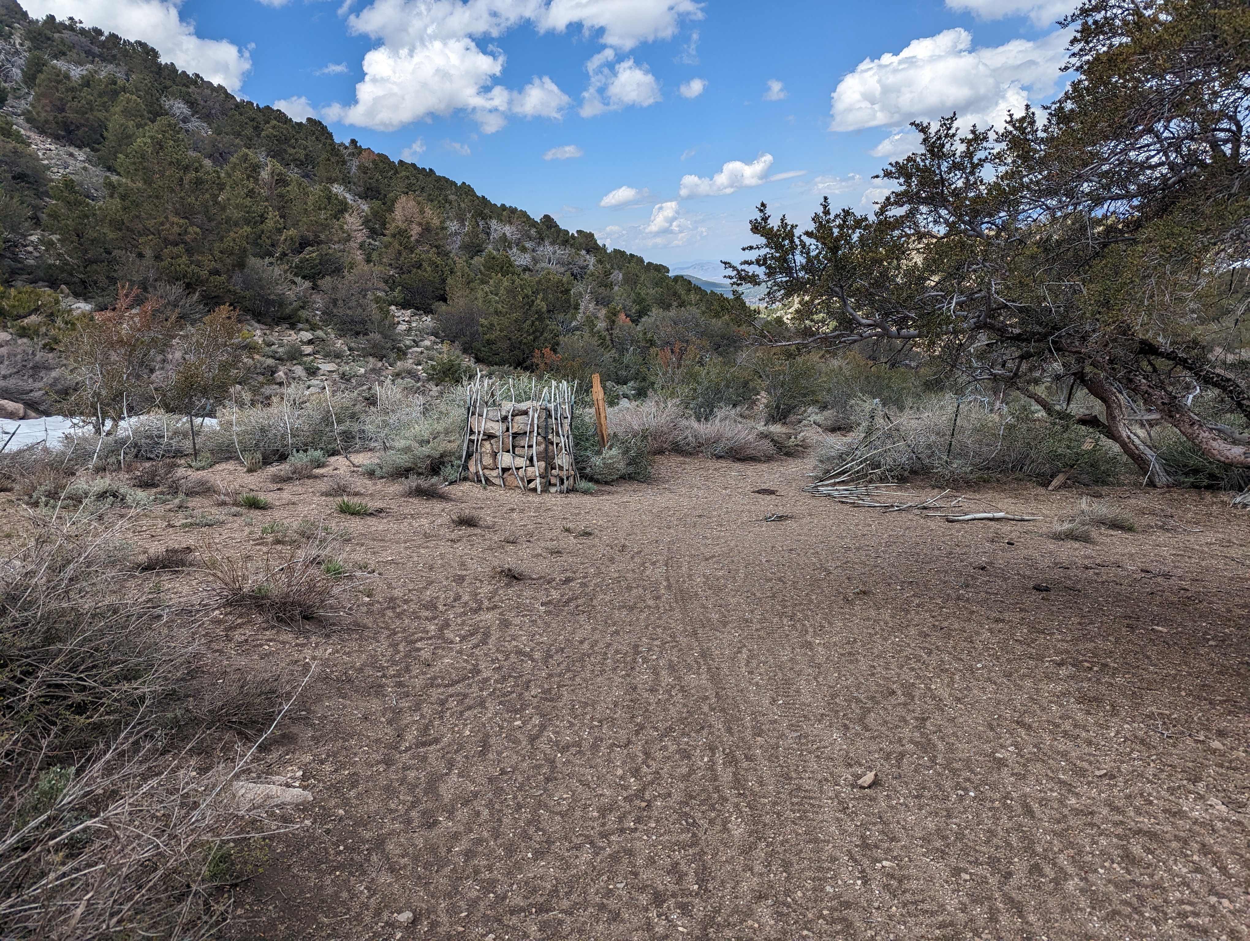 Cage of rocks
I took my shoes off, and sat in my camping chair for a solid 10 minutes just looking up at East Sister. It was only about 2PM, so I had to decide what to do with the rest of my day. I ended up packing up my camp, and driving around the area a bit to get some intel for Desert Creek Peak the next day. I made it down to Desert Creek, and decided to turn my truck around after seeing how much water it had in it. The road crosses it 4 or 5 times to get to the regular route, so I decided against that. On my way back up the road, I decided to pull off on a random side road, and took that a mile or so to another side road where I found a nice place to camp for the night, complete with a great view of East and Middle Sisters.
 The sisters from my campsite
Route
Route is approximate, I didn’t record a proper GPX track